Rockabill, Skerries

Gallery (1)
Map
Map
Facts and practical information
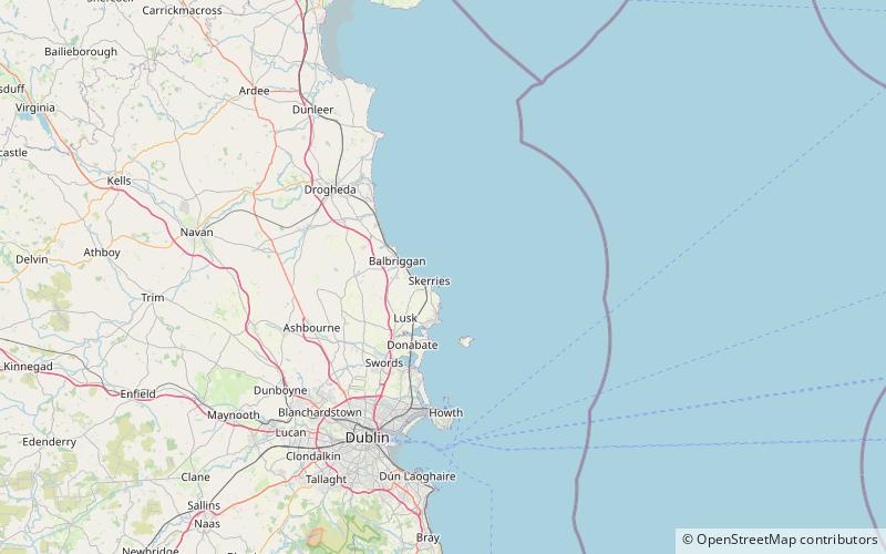
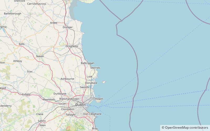
Rockabill is a group of two islands, "The Rock" and "The Bill", lying in the western Irish Sea about 6 kilometres east-north-east of Skerries, County Dublin, Ireland. An alternative Irish name, Carraig Dhá Bheola, meaning Two Lips Rock, is probably just a corruption of Carraig Dábhiolla. ()
Total islands: 2Archipelago: RockabillCoordinates: 53°35'39"N, 6°0'13"W
Address
Skerries
ContactAdd
Social media
Add
Day trips