Turlough Hill, Wicklow Mountains National Park

Gallery (4)
Map

Map
Gallery
Facts and practical information
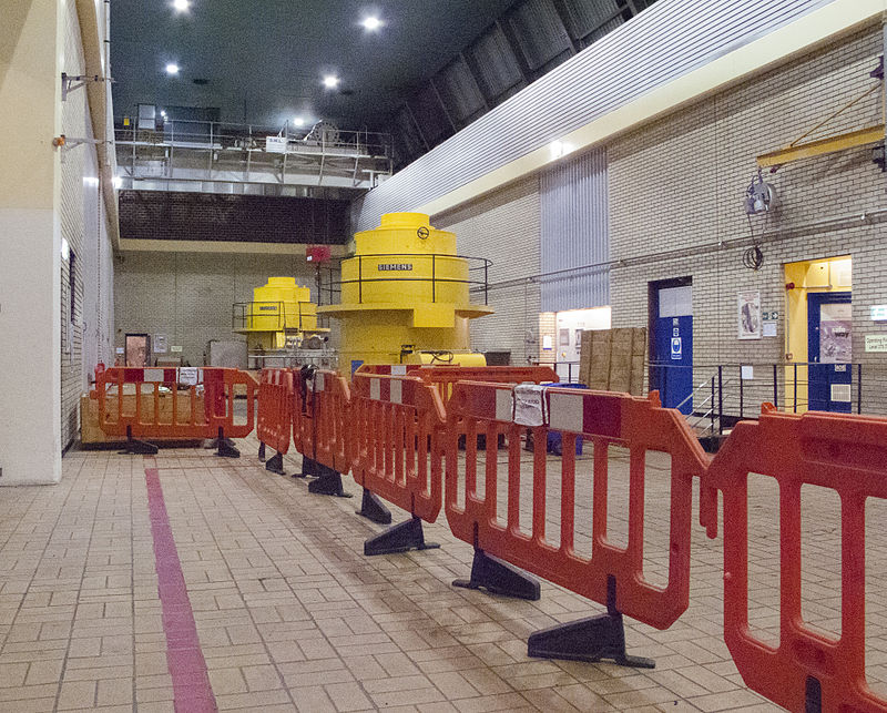
Turlough Hill, also known as Tomaneena, is a 681-metre-high mountain in County Wicklow in Ireland and site of Ireland's only pumped-storage hydroelectricity plant. The power station is owned and operated by the ESB and can generate up to 292 megawatts of electricity at times of peak demand. ()
Elevation: 2234 ftProminence: 177 ftCoordinates: 53°1'28"N, 6°25'1"W
Day trips


