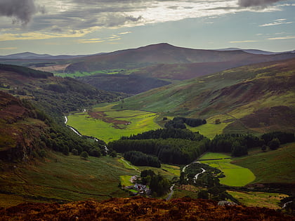
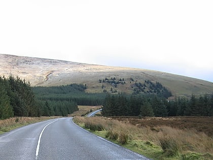
Lugduff, Wicklow Mountains National Park
Map
Gallery
Facts and practical information
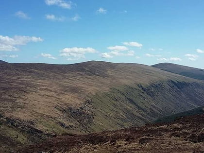
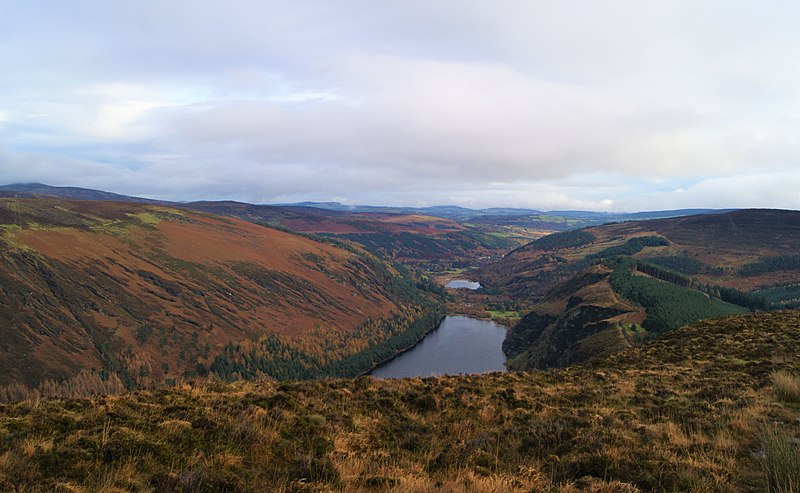
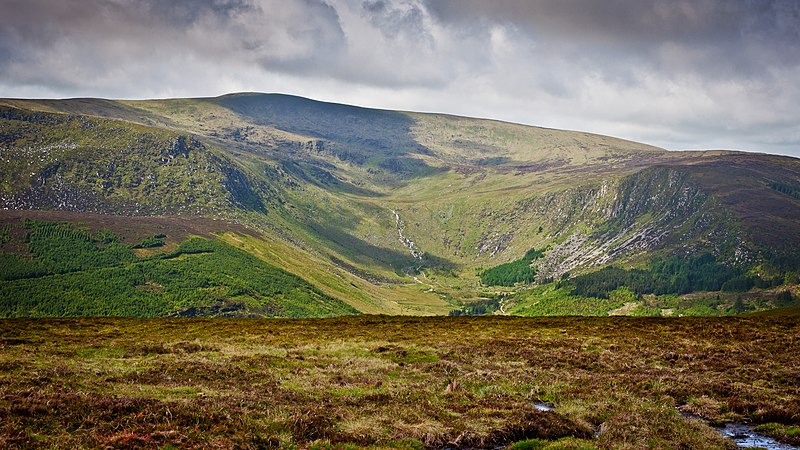
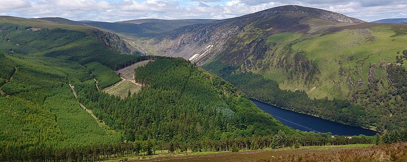
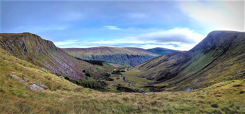
Lugduff at 652 metres, is the 154th–highest peak in Ireland on the Arderin scale, and the 186th–highest peak on the Vandeleur-Lynam scale. Lugduff is situated in the southern sector of the Wicklow Mountains range, and forms a broad horseshoe around the Upper Lake of the Glendalough valley with the mountains of Mullacor 661 metres, Conavalla 734 metres, the hydroelectric station at Turlough Hill 681 metres, and Camaderry 699 metres. ()
Coordinates: 52°59'55"N, 6°24'14"W
Address
Wicklow Mountains National Park
ContactAdd
Social media
Add
Day trips
Lugduff – popular in the area (distance from the attraction)
Nearby attractions include: Glenmacnass Waterfall, Lugnaquilla, Scarr, Tonelagee.
