Dartrey Forest
Map

Map

Facts and practical information
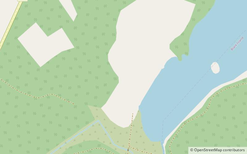
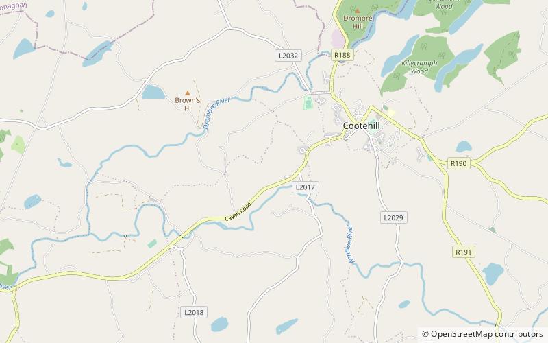
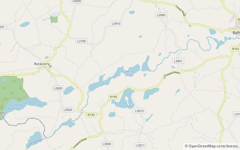
Dartrey Forest is a forest and estate near Rockcorry in north-west County Monaghan, Ireland. It was formerly part of the Barony of Dartrey and was the country estate of the Dawson family, who had the title Earl of Dartrey from 1866 to 1933. ()
Coordinates: 54°5'55"N, 7°4'18"W
Location
Monaghan
ContactAdd
Social media
Add
Day trips
Dartrey Forest – popular in the area (distance from the attraction)
Nearby attractions include: Cohaw, Cabragh Ringfort, County Monaghan, Errigal Ringfort.


