County Monaghan
Map

Map

Facts and practical information
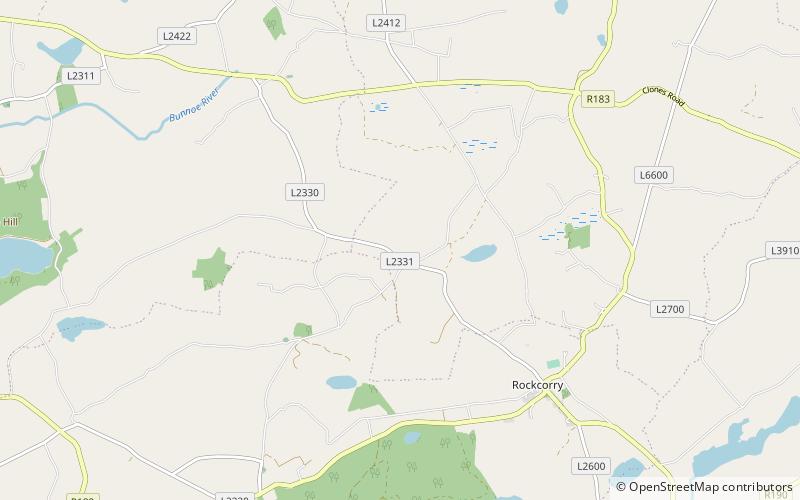
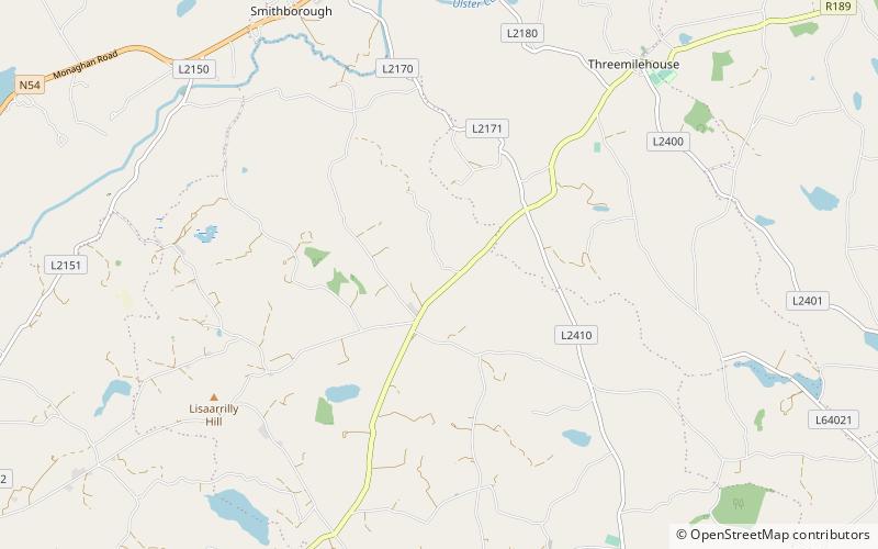
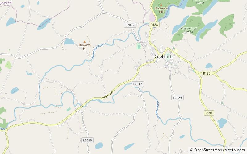
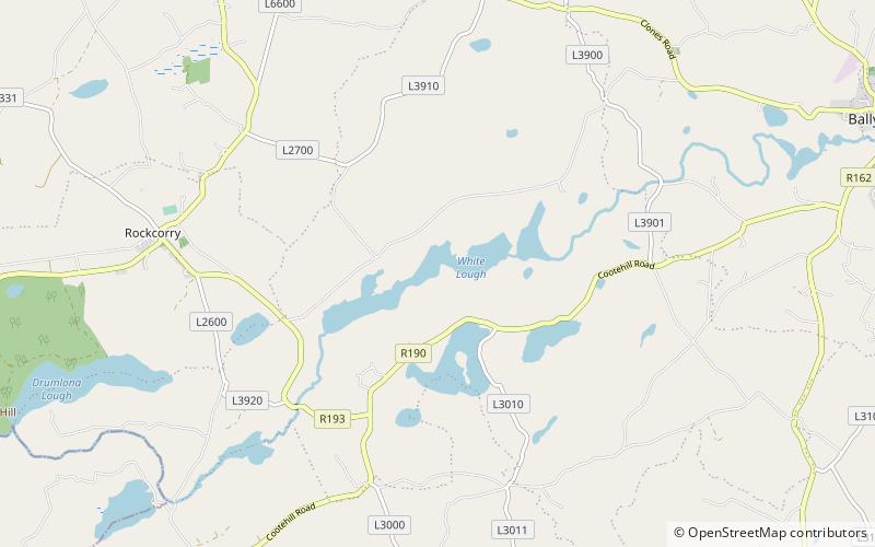
County Monaghan is a county in Ireland. It is part of the Border Region and is in the province of Ulster. It is named after the town of Monaghan. Monaghan County Council is the local authority for the county. The population of the county was 61,386 according to the 2016 census. ()
Day trips
County Monaghan – popular in the area (distance from the attraction)
Nearby attractions include: Dartrey Forest, Cohaw, Cabragh Ringfort, Cairnbaine.


