St Mary’s Church of Ireland, Howth

Gallery (1)
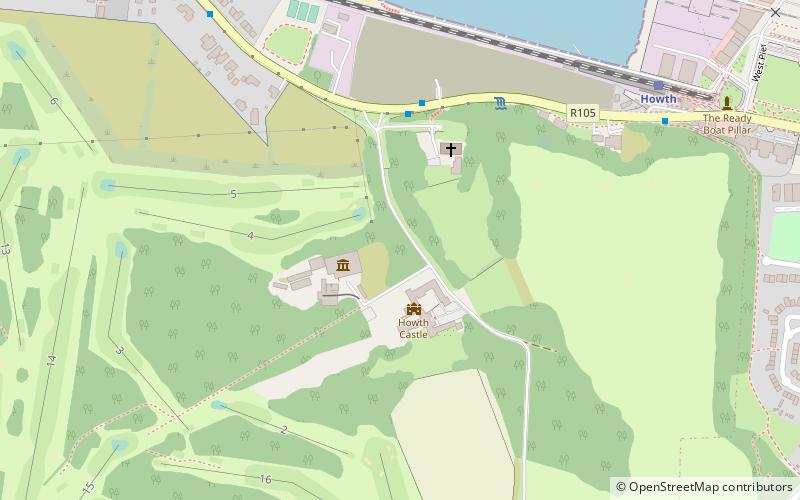
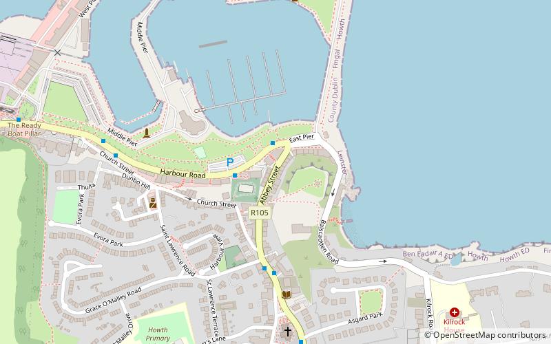
Map
Map
Facts and practical information
St Mary’s Church of Ireland is a place located in Howth (Dublin county) and belongs to the category of sightseeing.
It is situated at an altitude of 66 feet, and its geographical coordinates are 53°23'13"N latitude and 6°4'48"W longitude.
Among other places and attractions worth visiting in the area are: National Transport Museum, Dublin (museum, 2 min walk), Howth Castle, Dublin (forts and castles, 2 min walk), West Pier Art Studio (museum, 15 min walk).
Coordinates: 53°23'13"N, 6°4'48"W
Address
Northside (Howth)Howth
ContactAdd
Social media
Add
Day trips


Frequently Asked Questions (FAQ)
Which popular attractions are close to St Mary’s Church of Ireland?
Nearby attractions include National Transport Museum, Dublin (2 min walk), Howth Castle, Dublin (2 min walk), West Pier Art Studio, Howth (15 min walk), Martello towers in the Greater Dublin Area, Howth (16 min walk).