Athclare Castle
Map

Map

Facts and practical information
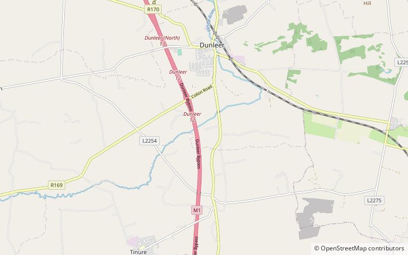
Athclare Castle is a Tudor tower house in the Dunleer area of County Louth in Ireland. Built in the 1550s, Athclare was built for the Barnewell family, and is typical of defensive architectural structures built in the Pale during the Tudor period in Ireland. Athclare has been extended and adapted in the centuries since its construction and is classified as a site of National social historical importance by the Irish National Inventory of Architectural Heritage. ()
Coordinates: 53°48'55"N, 6°23'52"W
Location
Louth
ContactAdd
Social media
Add
Day trips
Athclare Castle – popular in the area (distance from the attraction)
Nearby attractions include: Monasterboice, Mellifont Abbey, Lisnaran Fort, Greenmount Motte.


