Huguenot Cemetery, Cork

Gallery (2)
Map
Map
Gallery
Facts and practical information
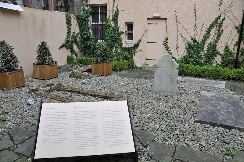
Huguenot Cemetery was created between 1710 and 1733 as a cemetery for the Huguenot inhabitants in the city of Cork. It is believed to be one of the last two surviving Huguenot graveyards in western Europe. ()
Established: 1733 (293 years ago)Coordinates: 51°53'55"N, 8°28'25"W
Address
CentreCork
ContactAdd
Social media
Add
Getting there by public transportation
Public transportation stops near this location
- Bus
- Train
 Bus
Bus
- Calculate routebus 205 to train 2 min walk
- Calculate routeGrand Parade 3 min walk
- Calculate routeSt. Patrick Street Debenhams 4 min walk
- Calculate routeWashington St 6 min walk
- Calculate routeCork Kent 17 min walk
Day trips
Huguenot Cemetery – popular in the area (distance from the attraction)
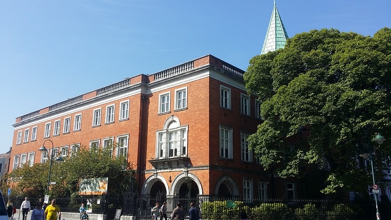
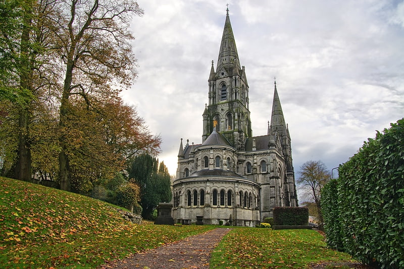
Nearby attractions include: St Patrick's Street, Crawford Art Gallery, Oliver Plunkett Street, Parnell Place.


Frequently Asked Questions (FAQ)
Which popular attractions are close to Huguenot Cemetery?
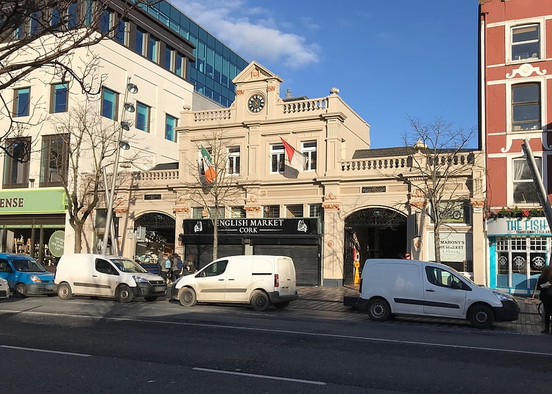
Nearby attractions include Saints Peter and Paul's Church, Cork (1 min walk), English Market, Cork (2 min walk), Crawford Art Gallery, Cork (2 min walk), Cork Opera House, Cork (3 min walk).
How to get to Huguenot Cemetery by public transport?
The nearest stations to Huguenot Cemetery:
Bus
Train
Bus
- bus 205 to train • Lines: 208 (2 min walk)
- Grand Parade • Lines: 205, 208 (3 min walk)
Train
- Cork Kent (17 min walk)