Sutton Creek, Dublin Bay Biosphere Reserve

Map
Facts and practical information
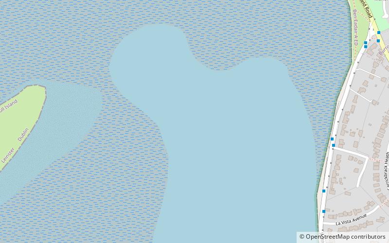
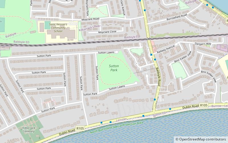
Sutton Creek is part of Dublin Bay that lies between the southwestern part of Howth Head and the northeast end of Bull Island. It forms the southern coastline of Sutton and is bounded by Dublin Road, Greenfield Road and Strand Road. ()
Coordinates: 53°22'55"N, 6°6'30"W
Address
Dublin Bay Biosphere Reserve
ContactAdd
Social media
Add
Day trips
Sutton Creek – popular in the area (distance from the attraction)
Nearby attractions include: Corr Castle, St. Fintan's Cemetery, Howth Castle, Shielmartin Hill.
Frequently Asked Questions (FAQ)
Which popular attractions are close to Sutton Creek?
Nearby attractions include Sutton, Dublin (15 min walk), St. Fintan's Cemetery, Dublin (17 min walk), Corr Castle, Dublin (21 min walk), Burrow Beach, Dublin (22 min walk).


