Gyles' Quay

Gallery (1)
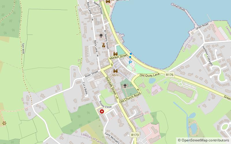
Map

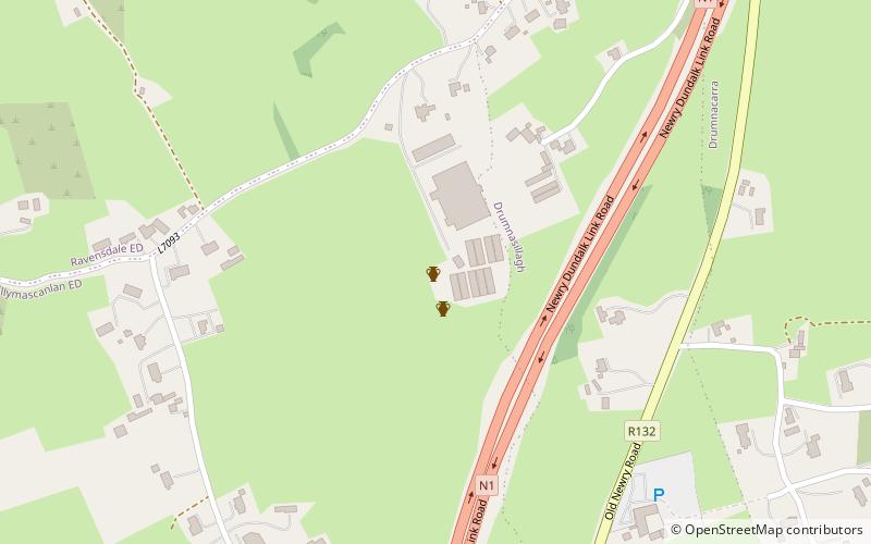
Map
Facts and practical information
Gyles' Quay is an isolated stretch of beach located 1 km south of the R173/R175 road on the Cooley Peninsula in the north of County Louth in Ireland. It was named after Ross Gyles who built a wood structure there in 1780. It was later rebuilt in stone in 1824 and survives to this day. ()
Coordinates: 53°59'10"N, 6°14'3"W
Location
Louth
ContactAdd
Social media
Add
Day trips