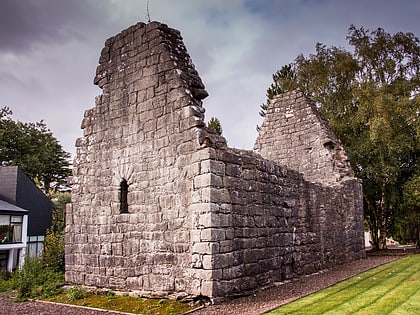
Kilrush Church, Limerick
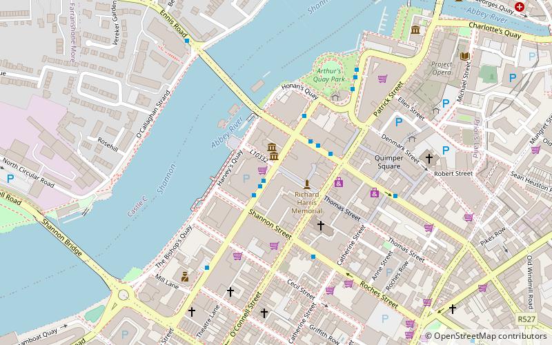
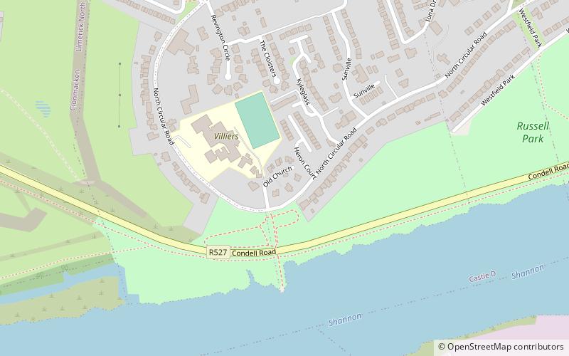
Map
Gallery
Facts and practical information
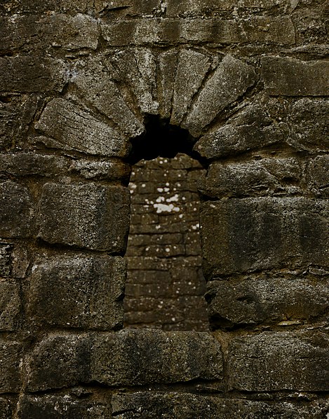
Kilrush Church, also called St. Munchin's Church, is a medieval church and a National Monument in Limerick City, Ireland. ()
Coordinates: 52°39'39"N, 8°39'18"W
Address
Limerick
ContactAdd
Social media
Add
Day trips
Kilrush Church – popular in the area (distance from the attraction)
Nearby attractions include: O'Connell Street, Thomond Park, Limerick Museum, Thomond Bridge.
Frequently Asked Questions (FAQ)
How to get to Kilrush Church by public transport?
The nearest stations to Kilrush Church:
Bus
Bus
- Lime Tree/Mary I • Lines: 735 (18 min walk)
- Irish Citylink, Henry Street • Lines: Express to Cork, Express to Galway (26 min walk)
