Oughter Ard

Gallery (1)
Map
Map
Facts and practical information
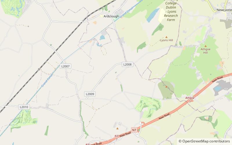
Oughterard is an ecclesiastical hilltop site, graveyard, townland, and formerly a parish, borough and royal manor in County Kildare, nowadays part of the community of Ardclough, close to the Dublin border. It is the burial place of Arthur Guinness. ()
Coordinates: 53°16'40"N, 6°33'56"W
Location
Kildare
ContactAdd
Social media
Add
Day trips