Magh Slécht

Map
Facts and practical information
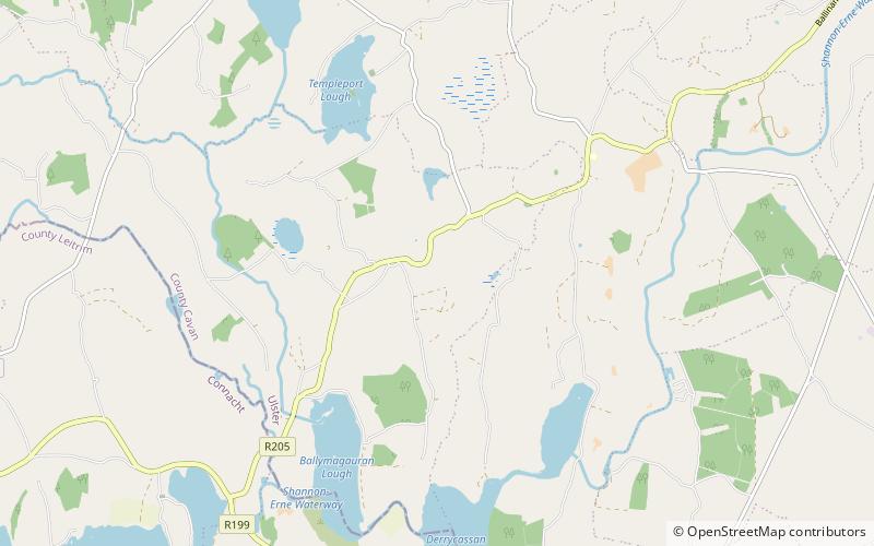
Magh Slécht is the name of a historic plain in Ireland. It comprises an area of about three square miles situated in the south-eastern part of the Parish of Templeport, Barony of Tullyhaw, in the west of County Cavan. It is bounded on the south by Templeport Lough, on the north by Slieve Rushen mountain, on the east by the Shannon–Erne Waterway, and on the west by the River Blackwater. Magh Slécht formed part of the Province of Connacht until the 16th century when it was made part of the Province of Ulster. ()
Coordinates: 54°4'48"N, 7°39'36"W
Location
Cavan
ContactAdd
Social media
Add
Day trips
Magh Slécht – popular in the area (distance from the attraction)
Nearby attractions include: Slieve Rushen, Garadice Lough, Killycluggin Stone, Brackley Lough.


