Garadice Lough

Gallery (1)
Map
Map
Facts and practical information
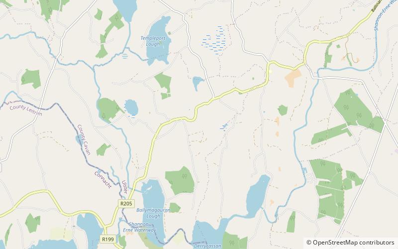
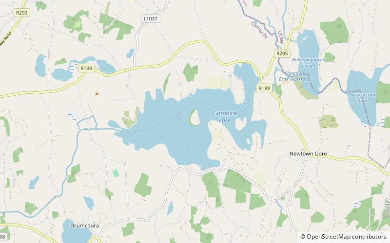
Garadice Lough (Irish: Loch Guth Ard Deas, also known as Garadice Lake or Lough Garadice, is a freshwater lake in County Leitrim, Ireland. It is located in the south of the county and now forms part of the Shannon–Erne Waterway. ()
Width: 9843 ftMaximum depth: 66 ftElevation: 200 ft a.s.l.Coordinates: 54°2'60"N, 7°42'57"W
Location
Leitrim
ContactAdd
Social media
Add
Day trips