Drumlohan Souterrain and Ogham Stones

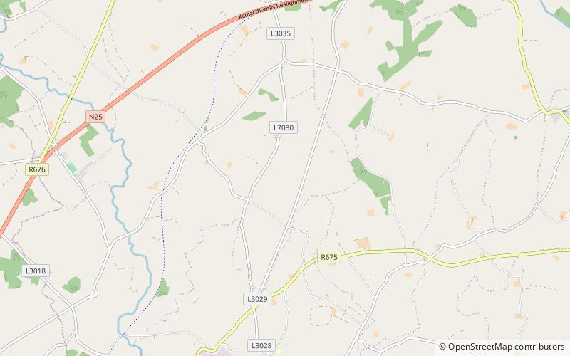
Map
Facts and practical information
Drumlohan souterrain and ogham stones, known locally as the Ogham Cave, is a souterrain with ogham stones forming a National Monument located in County Waterford, Ireland. ()
Coordinates: 52°9'48"N, 7°27'55"W
Day trips
Drumlohan Souterrain and Ogham Stones – popular in the area (distance from the attraction)
Nearby attractions include: Dungarvan Golf Club, River Mahon, Ballinacourty, Fauscoum.


