Trek Zone

Dungarvan Golf Club, Dungarvan

#1 among attractions in Dungarvan

Outdoor activities, Golf
Dungarvan Golf Club

Facts and practical information

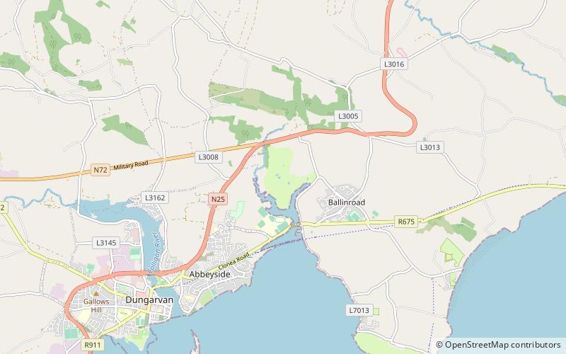
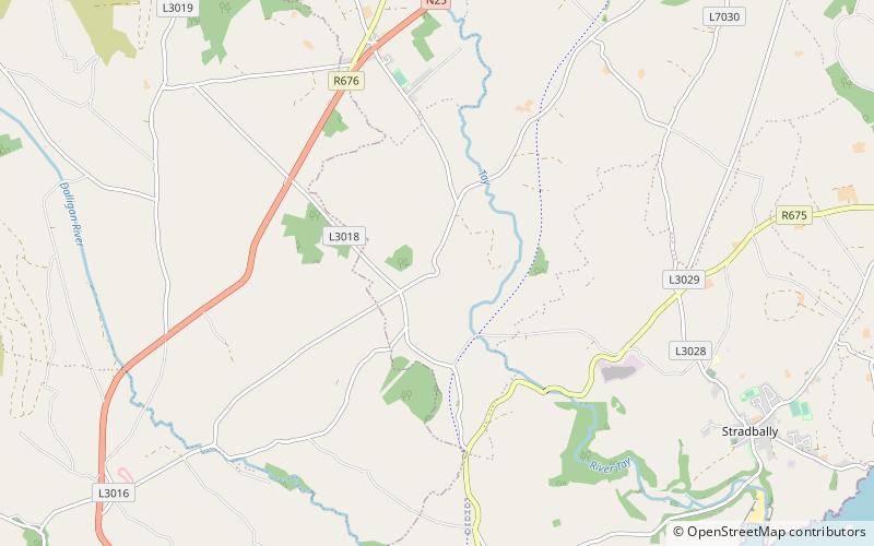
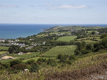
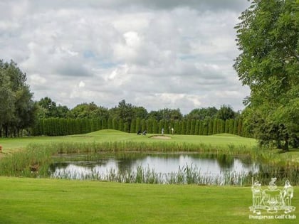
Dungarvan Golf Club is a place located in Dungarvan (Waterford county) and belongs to the category of outdoor activities, golf.

It is situated at an altitude of 39 feet, and its geographical coordinates are 52°6'29"N latitude and 7°35'19"W longitude.

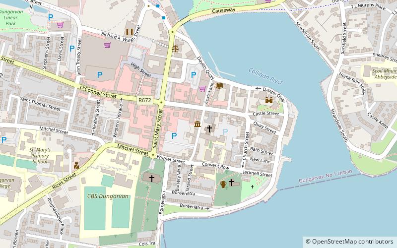
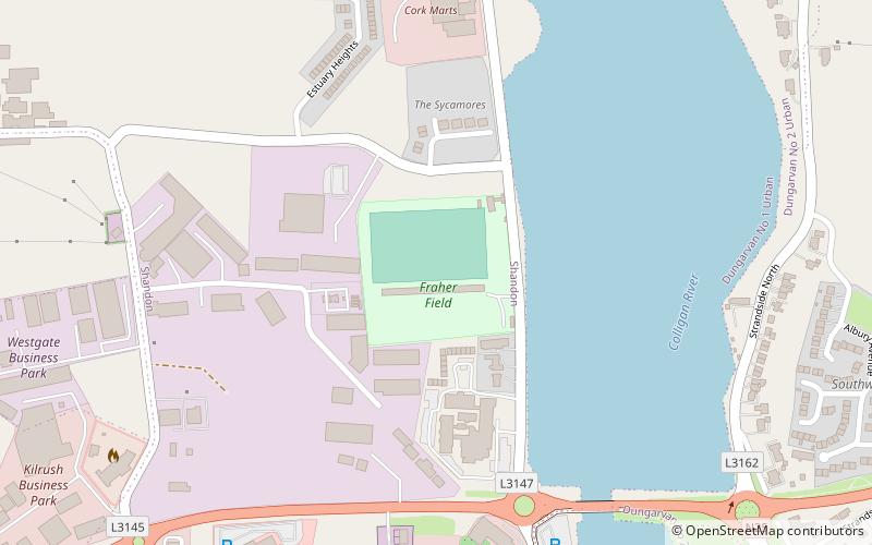
Among other places and attractions worth visiting in the area are: Fraher Field (sport venue, 44 min walk), Dungarvan Castle (museum, 45 min walk), Waterford County Museum (specialty museum, 48 min walk).

Coordinates: 52°6'29"N, 7°35'19"W
Address

Dungarvan Ireland

Contact
+353 58 41605
Social media
Add
Day trips

Dungarvan Golf Club – popular in the area (distance from the attraction)

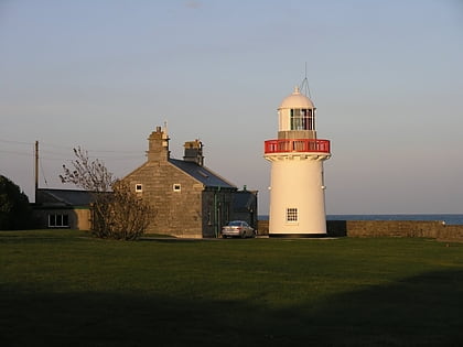
Nearby attractions include: Dungarvan Castle, Ballinacourty, Waterford County Museum, Drumlohan Souterrain and Ogham Stones.
  • dungarvan castle1.7 miSW
  • ballinacourty dungarvan2 miSE
  • waterford county museum dungarvan location map
    1.9 miSW
  • drumlohan souterrain and ogham stones location map
    6.5 miNE
  • answering stone location map
    4.2 miNE
  • ballynagaul ring location map
    4 miS
  • kilrossanty5.1 miN
  • fraher field dungarvan location map
    1.7 miSW
  • gaeltacht na ndeise ring4 miS

Where to next? Visit waterford Waterford region page or discover the top tourist attractions in Ireland.

IrelandCarlowCavanClareCorkDonegalDublinGalwayKerryKildareKilkennyLaoighisLeitrimLimerickLongfordLouthMayoMeathMonaghanOffalyRoscommonSligoTipperaryWaterfordWestmeathWexfordWicklow