Slieve Bawn

Gallery (2)
Map
Map
Gallery
Facts and practical information
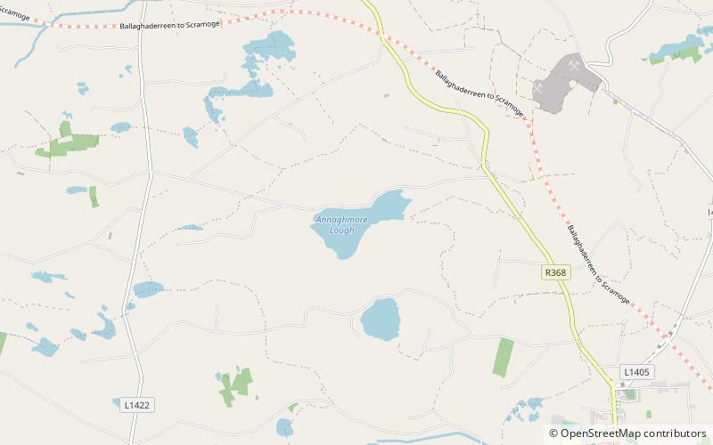
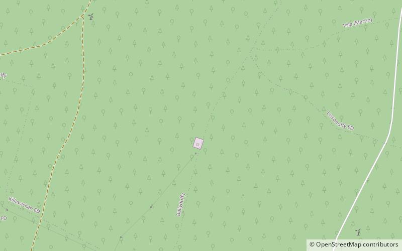
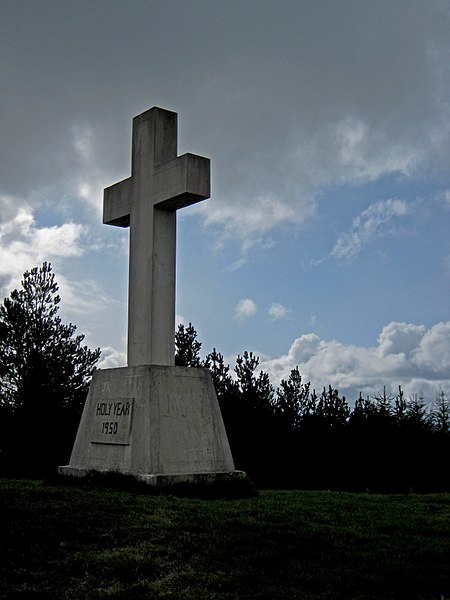
Slieve Bawn or Sliabh Bághna is a Hill in County Roscommon, Ireland. It lies between Strokestown and Ballyleague. It is the third-highest point in the county, after Kilronan Mountain and Seltannasaggart. ()
Elevation: 860 ftProminence: 705 ftCoordinates: 53°43'44"N, 8°4'3"W
Location
Roscommon
ContactAdd
Social media
Add
Day trips