Lanesborough–Ballyleague
Map

Map

Facts and practical information
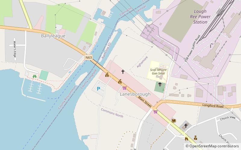
Lanesborough–Ballyleague, more commonly known simply as Lanesborough, is a town in the midlands of Ireland. Lanesborough is on the County Longford side and Ballyleague on the County Roscommon side of the River Shannon. They are located at the northern tip of Lough Ree on the N63 national secondary road at its junction with the R371 and R392. The town of Longford is 16 km north-east on the N63, the town of Roscommon is 15 km south-west on the N63, the town of Ballymahon is 20 km south-east on the R392 and the town of Strokestown is 15 km north-west on the R371. ()
Location
Longford
ContactAdd
Social media
Add
Day trips
Lanesborough–Ballyleague – popular in the area (distance from the attraction)
Nearby attractions include: Slieve Bawn.

