Churchtown, Dublin
Map

Gallery

Facts and practical information
Churchtown is a largely residential suburb on the southside of Dublin, between Rathfarnham and Dundrum. ()
Coordinates: 53°17'42"N, 6°15'30"W
Address
Dublin
ContactAdd
Social media
Add
Day trips
Churchtown – popular in the area (distance from the attraction)
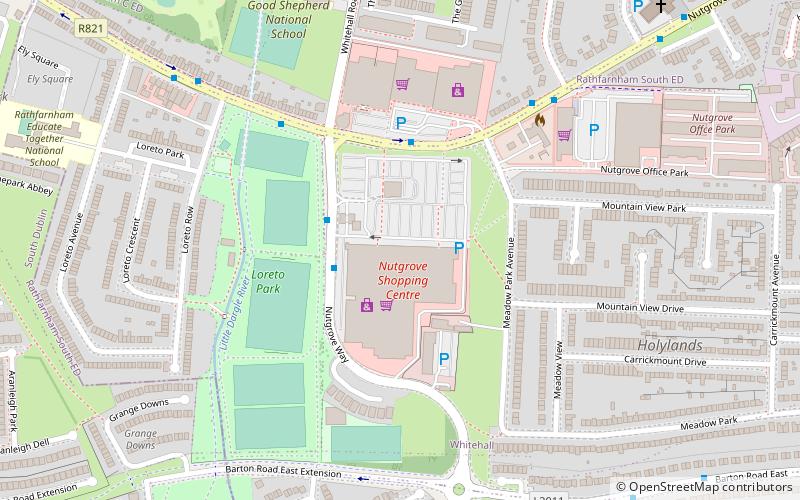
Nearby attractions include: Dundrum Town Centre, Nutgrove Shopping Centre, Rathfarnham Castle, Pearse Museum.
Frequently Asked Questions (FAQ)
Which popular attractions are close to Churchtown?
Nearby attractions include Mount Merrion, Dublin (9 min walk), St. Nahi's Church, Dublin (12 min walk), William Dargan Bridge, Dublin (14 min walk), Mill Theatre Dundrum, Dublin (20 min walk).
How to get to Churchtown by public transport?
The nearest stations to Churchtown:
Bus
Tram
Bus
- Nutgrove Avenue, Beaumont Avenue • Lines: 17, 17D (2 min walk)
- Braemor Road, Churchtown Rd • Lines: 14 (2 min walk)
Tram
- Windy Arbour • Lines: Luas Green Line (15 min walk)
- Dundrum • Lines: Luas Green Line (15 min walk)


