Lough Talt
Map

Map

Facts and practical information
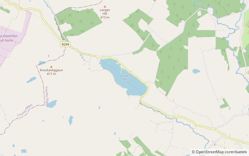
Lough Talt is a lake in the Ox Mountains of south County Sligo, Ireland. The lake is located between the villages of Tubbercurry and Bonniconlon on the R294 road. Lough Talt is part of the Lough Hoe Bog Special Area of Conservation, an area of montane bogland and oligotrophic lakes. ()
Maximum depth: 131 ftElevation: 436 ft a.s.l.Coordinates: 54°4'56"N, 8°55'18"W
Location
Sligo
ContactAdd
Social media
Add
Day trips
Lough Talt – popular in the area (distance from the attraction)
Nearby attractions include: Easky Lough, Carrowreagh Court Tomb.


