Moylussa

Gallery (1)
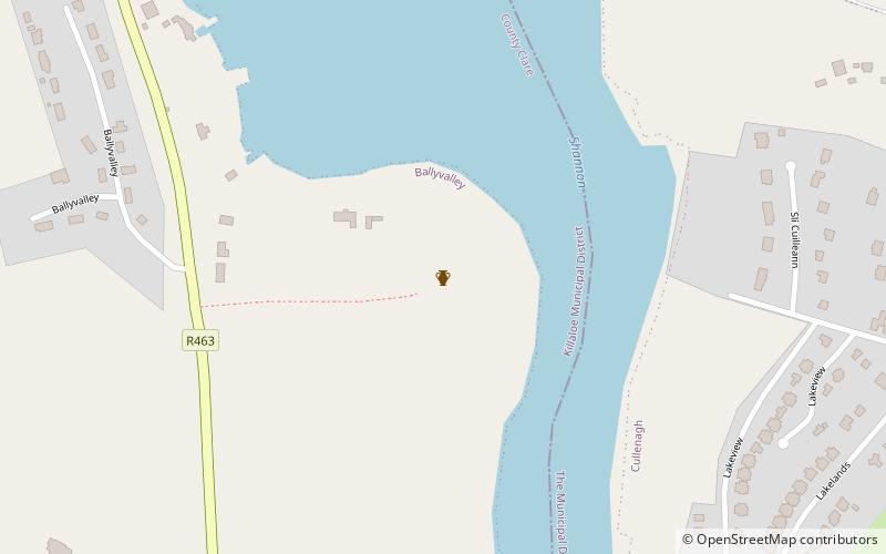
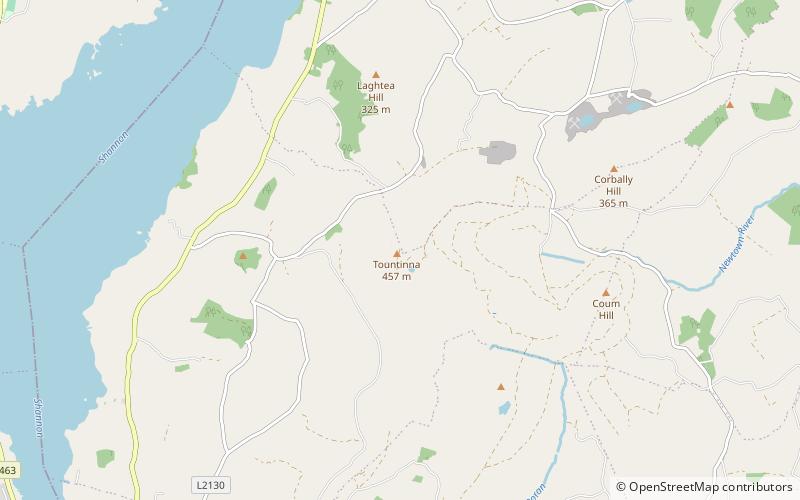
Map
Map
Facts and practical information
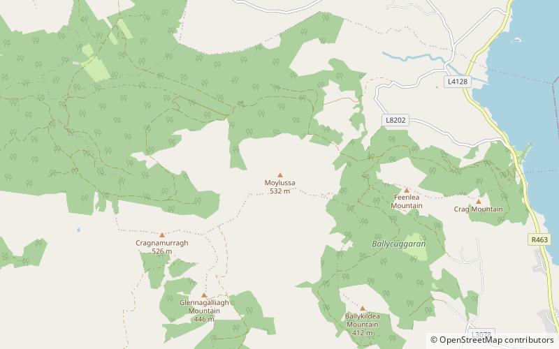
Moylussa is a mountain in the Slieve Bernagh range in western Ireland, and the highest point in County Clare at 532 metres. ()
Elevation: 1745 ftProminence: 1647 ftCoordinates: 52°50'1"N, 8°31'21"W
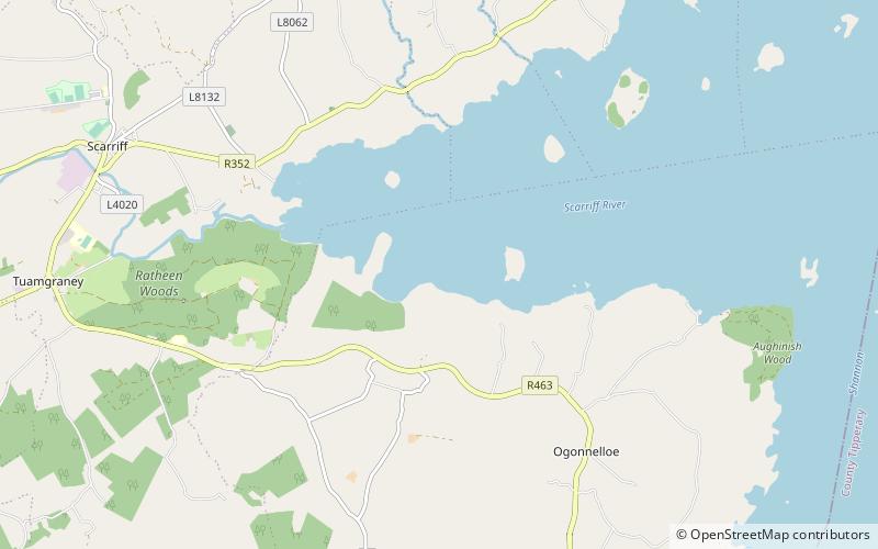
Location
Clare
ContactAdd
Social media
Add
Day trips