Castlebawn

Map
Facts and practical information
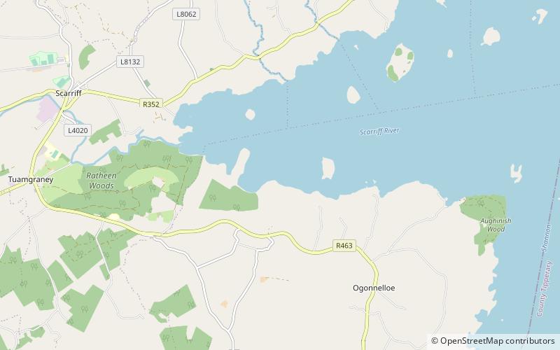
Castlebawn is a 16th-century Tower house, in County Clare, Ireland. It is on a small island on Lough Derg on the River Shannon, it is connected to the shore of Bealkelly by a man-made causeway. It was built by the McNamaras about 1540, severely damaged in 1827, and is now restored and opened to the public. ()
Coordinates: 52°53'56"N, 8°28'47"W
Location
Clare
ContactAdd
Social media
Add
Day trips
Castlebawn – popular in the area (distance from the attraction)
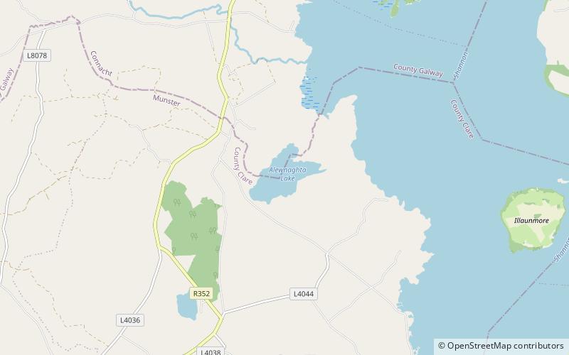
Nearby attractions include: Brian Boru's Fort, Moylussa, St. Cronan's Church, Inis Cealtra.


