Glasnevin, Dublin
Map

Map

Facts and practical information
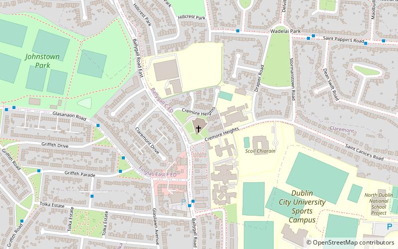
Glasnevin is a neighbourhood of Dublin, Ireland, situated on the River Tolka. While primarily residential, Glasnevin is also home to the National Botanic Gardens, Glasnevin Cemetery, the National Meteorological Office, and a range of other state bodies, and Dublin City University has its main campus and other facilities in and near the area. Glasnevin is also a civil parish in the ancient barony of Coolock. ()
Address
Northside (Cabra - Drumcondra)Dublin
ContactAdd
Social media
Add
Day trips
Glasnevin – popular in the area (distance from the attraction)
Nearby attractions include: Dublin Zoo, National Botanic Gardens, Glasnevin Cemetery, Áras an Uachtaráin.
Frequently Asked Questions (FAQ)
Which popular attractions are close to Glasnevin?
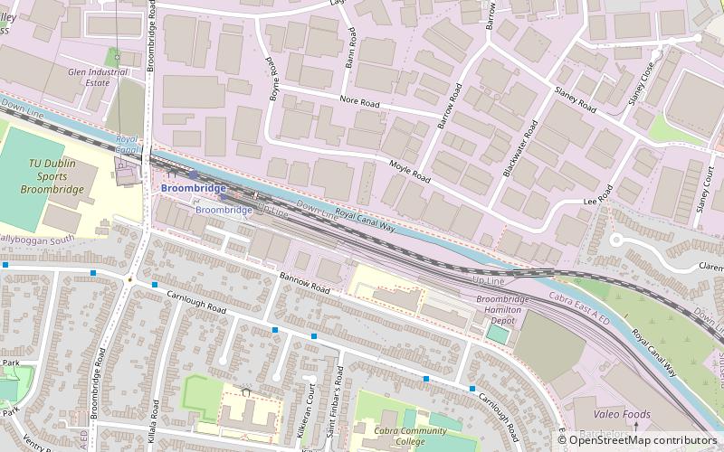
Nearby attractions include Broom Bridge, Dublin (6 min walk), Glasnevin Cemetery, Dublin (18 min walk), National Botanic Gardens, Dublin (24 min walk).
How to get to Glasnevin by public transport?
The nearest stations to Glasnevin:
Tram
Train
Bus
Tram
- Broombridge • Lines: Luas Green Line (4 min walk)
- Cabra • Lines: Luas Green Line (20 min walk)
Train
- Broombridge (5 min walk)
- Pelletstown (22 min walk)
Bus
- Faussagh Avenue, Church of the Most Precious Blood • Lines: 122 (9 min walk)
- Fassaugh Avenue, Carnlough Road • Lines: 122 (10 min walk)


