Seefin

Map
Facts and practical information
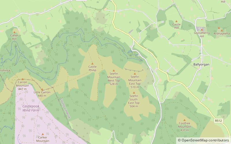
Seefin is a mountain near the southern border of County Limerick, Ireland. At 528m it is the highest point and the second most northerly summit in the Ballyhoura Mountains and the 396th highest in Ireland. Latitude: 52.313847 Longitude: -8.522738. ()
Elevation: 1732 ftCoordinates: 52°18'47"N, 8°31'16"W
Location
Limerick
ContactAdd
Social media
Add
Day trips
Seefin – popular in the area (distance from the attraction)
Nearby attractions include: Ballyhoura Mountains, Castle Oliver, Kilfinane, Castlepook.


