Castlepook
#954 among destinations in Ireland
![Castlepook location map](https://tzmedia.b-cdn.net/media/images/static-maps/ie/52_2536_-8_56405.jpg)
Facts and practical information
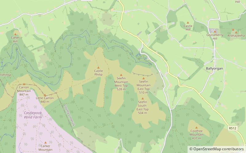
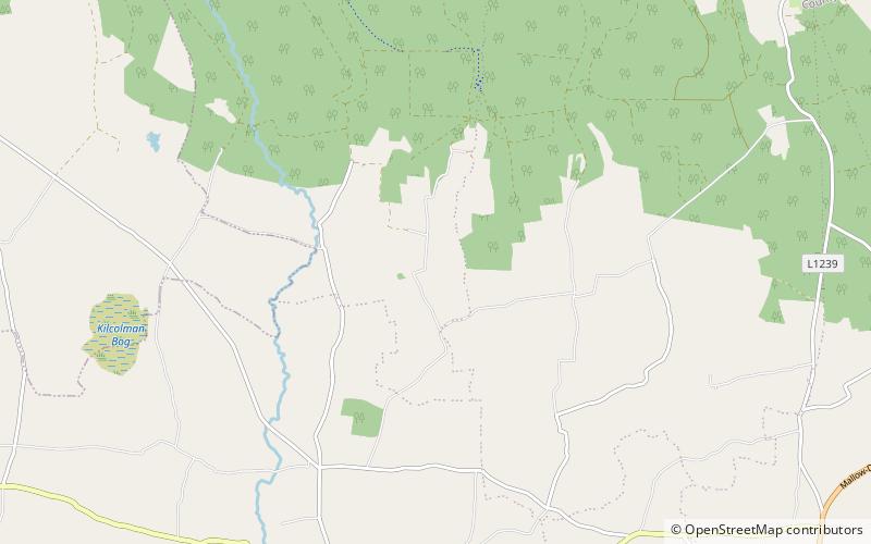
Castlepook or Castle Pook is a Norman style castle built in 1380 by the Synan family. ()
CorkIreland
Castlepook plan & book
Unleash the traveler in you — discover the cheapest flight deals, find the perfect hotel or hostel nearby, and search for the best car rental prices. Travel at your own pace to discover new places and enjoy your journey.
Castlepook – popular in the area (distance from the attraction)
Nearby attractions include: Buttevant Franciscan Friary, Ballyhoura Mountains, Ballybeg Priory, Castle Oliver.
4.7 miWHistorical place, MonasteryButtevant Franciscan Friary, Buttevant
120 min walk • The Buttevant Franciscan Friary is a 13th-century Franciscan Friary is situated in the middle of the town of Buttevant, County Cork, Ireland.
3.5 miNNature, Natural attraction, MountainBallyhoura Mountains
89 min walk • The Ballyhoura Mountains are located in south-east County Limerick and north-east County Cork in central Munster, running east and west for about 6 miles on the borders of both counties.
5.1 miSWMonasteryBallybeg Priory
130 min walk • Ballybeg Priory, also known as Ballybeg Abbey, the Abbey of St Thomas, and St Thomas's Priory, is a 13th-century priory of the Augustinian order near the town of Buttevant, County Cork, Ireland.
6.1 miNEForts and castlesCastle Oliver
155 min walk • Castle Oliver is a Victorian castle in the south part of County Limerick, Ireland. Built for entertaining rather than for defense, it has a ballroom, drawing room, library, morning room, dining room and hall which feature hand-painted ceilings, decorated ornamental corbels, superbly executed stained glass windows and stencil work.
4.5 miNENature, Natural attraction, MountainSeefin
115 min walk • Seefin is a mountain near the southern border of County Limerick, Ireland. At 528m it is the highest point and the second most northerly summit in the Ballyhoura Mountains and the 396th highest in Ireland. Latitude: 52.313847 Longitude: -8.522738.
6.4 miNWForts and castlesCastle Harrison
163 min walk • Castle Harrison, formerly Castle Dodd, was a great house close to Ballyhea and Charleville, in north County Cork, Ireland. The seat of the Harrison family for some time, the house was demolished in the 1950s.
3.9 miNNature, Natural attraction, MountainCarron Mountain
100 min walk • Carron Mountain is a mountain 440m high on the border of County Limerick and County Cork, Ireland. It is part of the Ballyhoura Mountains. Carron is home to the North Cork transmitter for the UPC MMDS service.
6 miNWArchaeological siteArdskeagh Church
154 min walk • Ardskeagh Church is a medieval church and a National Monument in County Cork, Ireland.