Boggeragh Mountains
Map
Map

Facts and practical information
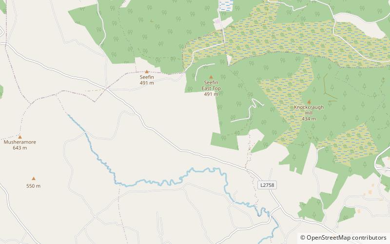
The Boggeragh Mountains are located in County Cork, Ireland, with the Munster Blackwater to the north and the River Lee to the south of the hills. With an elevation of 644 m, the highest peak is Musheramore. The landscape consists of peat blanket bog, grassland, streams and areas of forestry. The mountains were formed from Old Red Sandstone deposited during the Devonian Period. They were shaped by glacial erosion during the last glacial period. ()
Location
Cork
ContactAdd
Social media
Add
Day trips
Boggeragh Mountains – popular in the area (distance from the attraction)
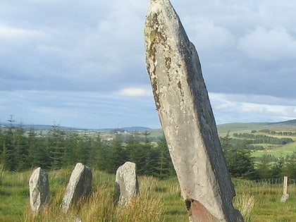
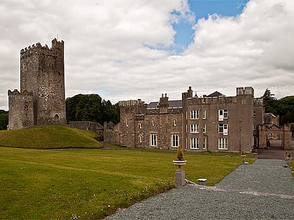
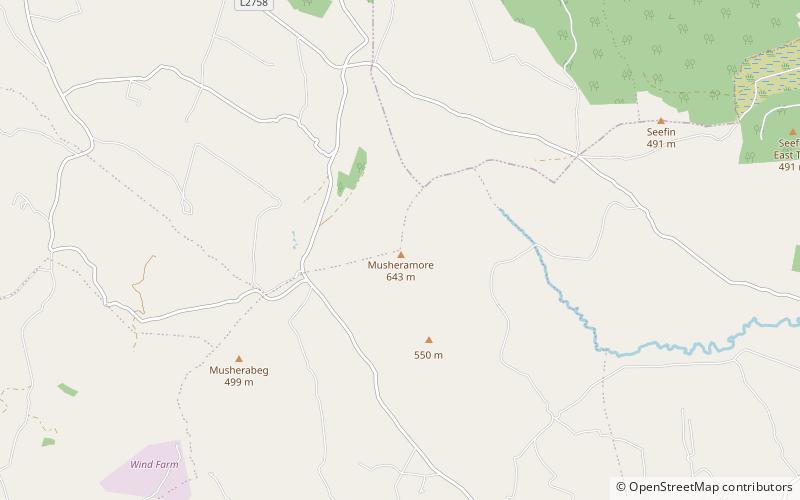
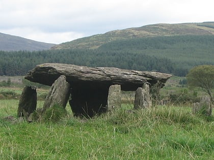
Nearby attractions include: Knocknakilla, Drishane Castle, Musheramore, Glantane East.
