Clonmoyle East
Map
Facts and practical information
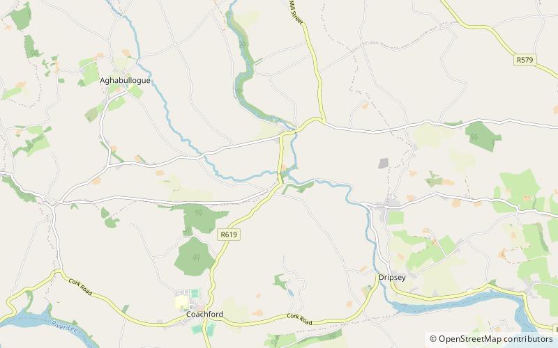
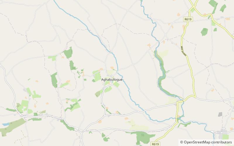
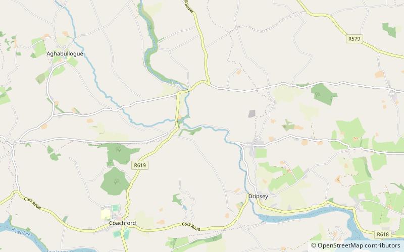
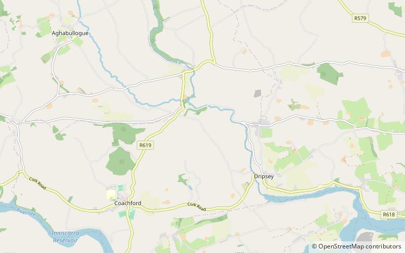
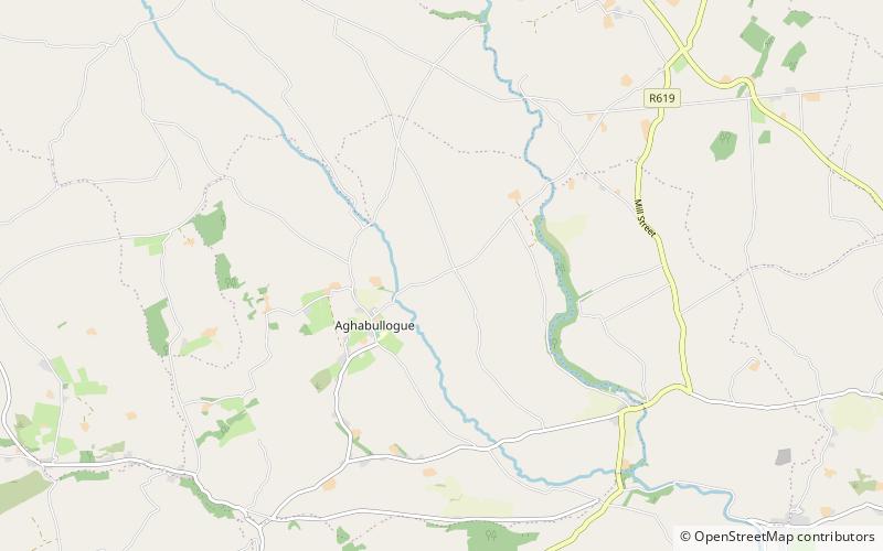
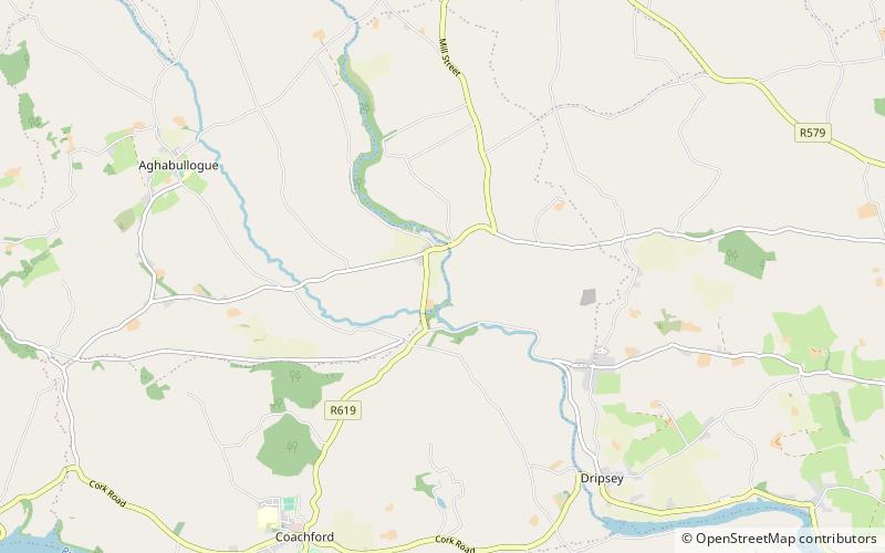
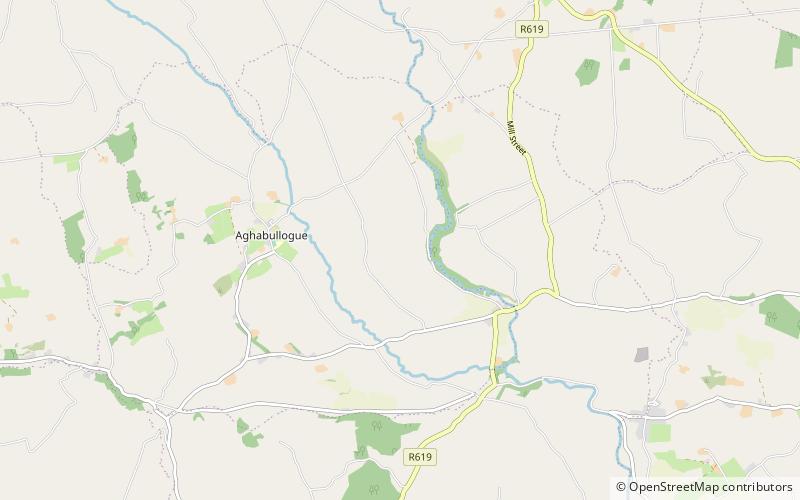
Clonmoyle East is a townland within both the civil parish and catholic parish of Aghabullogue, County Cork, Ireland. It is 756.05 acres in size, situate east of Aghabullogue village, and north of Coachford village. ()
Elevation: 427 ft a.s.l.Coordinates: 51°56'36"N, 8°47'8"W
Location
Cork
ContactAdd
Social media
Add
Day trips
Clonmoyle East – popular in the area (distance from the attraction)
Nearby attractions include: Colthurst's Bridge, Aghabullogue Bridge, Dripsey Castle Bridge, Carrignamuck.
