Mullaghmeen
Map

Map

Facts and practical information
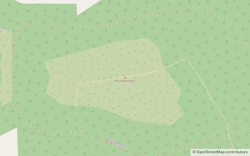
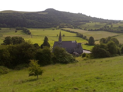
Mullaghmeen, at 258 metres, is the county top for Westmeath in Ireland, and is the lowest county top in Ireland. Mullaghmeen is located in the Mullaghmeen Forest, known for having the largest planted beech forest in Europe. ()
Elevation: 846 ftProminence: 479 ftCoordinates: 53°45'43"N, 7°17'21"W
Location
Westmeath
ContactAdd
Social media
Add
Day trips
Mullaghmeen – popular in the area (distance from the attraction)
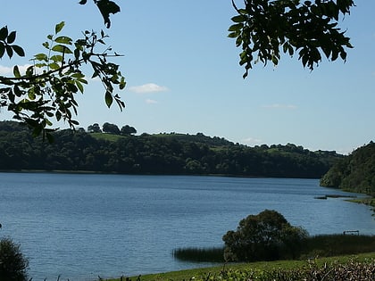
Nearby attractions include: Fore Abbey, Tullynally Castle, Lough Bane, Lough Sheelin.


