Carrignamuck
Map
Facts and practical information
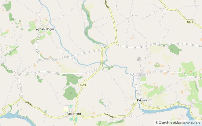
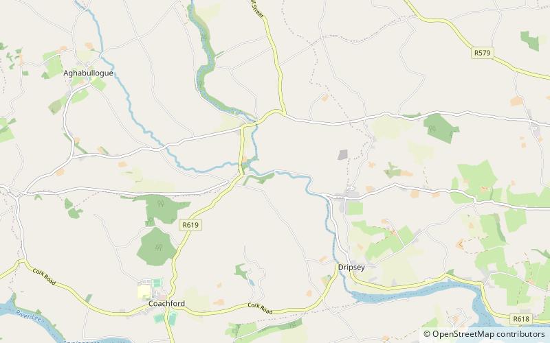
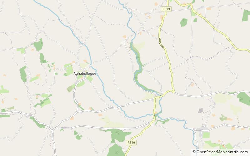
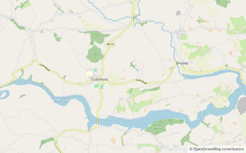
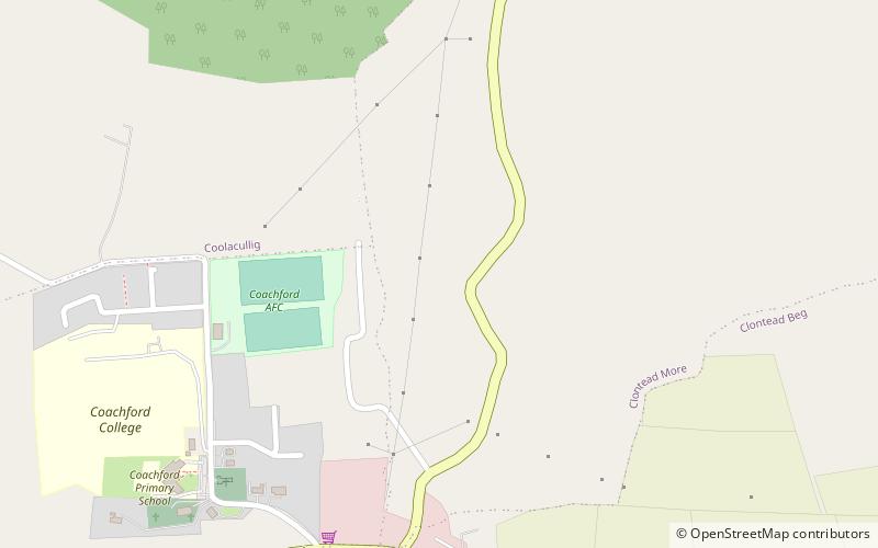
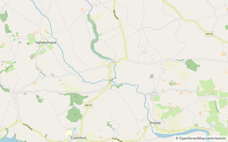
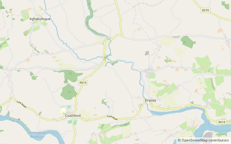
Carrignamuck is a townland within the civil parish of Magourney and catholic parish of Aghabullogue, County Cork, Ireland. It is 363.76 acres in size, situate north-east of Coachford village, and north-west of Dripsey village. ()
Elevation: 387 ft a.s.l.Coordinates: 51°55'31"N, 8°45'46"W
Location
Cork
ContactAdd
Social media
Add
Day trips
Carrignamuck – popular in the area (distance from the attraction)
Nearby attractions include: Colthurst's Bridge, Dripsey Castle Bridge, Clonmoyle East, Clontead Beg.
