Cnoc na Péiste
Map

Map

Facts and practical information
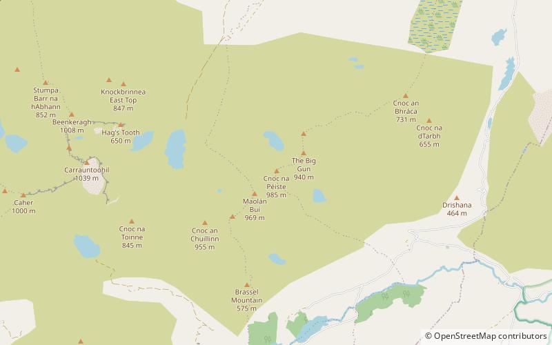
Cnoc na Péiste, anglicised Knocknapeasta, at 988 metres, is the fourth-highest peak in Ireland, on the Arderin and Vandeleur-Lynam lists. Cnoc na Péiste is part of the MacGillycuddy's Reeks range in County Kerry. It is one of only two 3,000 ft peaks in the Reeks with a prominence above the Marilyn threshold of 150 metres, and is the highest summit of the Eastern Reeks. In 1943, a USAAF plane crashed into the mountain, killing all five crew, and parts of the wreckage can still be seen in Lough Cummeenapeasta. ()
Elevation: 3241 ftProminence: 830 ftCoordinates: 51°59'52"N, 9°41'44"W
Location
Kerry
ContactAdd
Social media
Add
Day trips
Cnoc na Péiste – popular in the area (distance from the attraction)
Nearby attractions include: The Big Gun, Maolán Buí, Brassel Mountain, Cnoc an Chuillin.


