Brassel Mountain
Map

Map

Facts and practical information
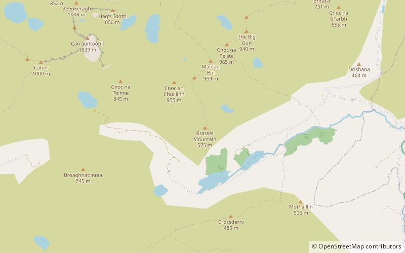
Brassel Mountain at 575 metres, is the 261-st highest peak in Ireland, on the Arderin scale. It is part of the MacGillycuddy's Reeks range in County Kerry. Brassel Mountain is the south-east spur of the larger neighbouring peaks, Cnoc an Chuillinn 958 metres, and Cnoc an Chuillinn East Top 926 metres. Because of its positioning away from the main ridge of the Reeks, and away from the glens used to access the Reeks, Brassel is less frequently climbed, but can be used as an exit, or entry point to the main ridge. ()
Elevation: 1886 ftProminence: 164 ftCoordinates: 51°58'52"N, 9°42'13"W
Location
Kerry
ContactAdd
Social media
Add
Day trips
Brassel Mountain – popular in the area (distance from the attraction)
Nearby attractions include: Cnoc na Péiste, Maolán Buí, Cnoc an Chuillin, Caher West Top.


