Glendalough Upper Lake, Glendalough
#6 among attractions in Glendalough

Facts and practical information
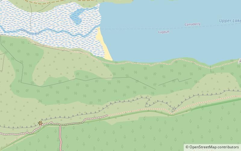
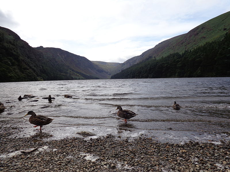
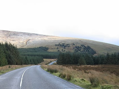
Glendalough Upper Lake is a glacial lake near Glendalough, County Wicklow, Ireland. ()
Glendalough Ireland
Glendalough plan & book
Unleash the traveler in you — discover the cheapest flight deals, find the perfect hotel or hostel nearby, and search for the best car rental prices. Travel at your own pace to discover new places and enjoy your journey.
Glendalough Upper Lake – popular in the area (distance from the attraction)
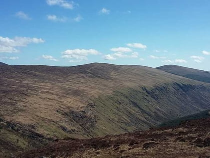
Nearby attractions include: Glenmacnass Waterfall, Lugduff, Lugnaquilla, Scarr.
 Natural attraction, Park, Waterfall
Glenmacnass Waterfall, Laragh
114 min walk • Glenmacnass Waterfall is an 80-metre high waterfall situated at the head of the Glenmacnass Valley in the Wicklow Mountains in Ireland. The Glenmacnass Waterfall is a popular tourist destination and scenic viewpoint area in the Wicklow Mountains. The Waterfall is bounded to the west by Tonelagee, and to the east by Scarr mountain.
 Mountain
Lugduff, Wicklow Mountains National Park
41 min walk • Lugduff at 652 metres, is the 154th–highest peak in Ireland on the Arderin scale, and the 186th–highest peak on the Vandeleur-Lynam scale.
 Nature, Natural attraction, Mountain
Lugnaquilla
122 min walk • Lugnaquilla, at 925 metres, is the 11th–highest peak in Ireland on the Arderin list, and 13th–highest on the Vandeleur-Lynam list, and the highest Irish mountain outside of Kerry.
 Mountain
Scarr, Laragh
109 min walk • Scarr at 641 metres, is the 174th–highest peak in Ireland on the Arderin scale, and the 207th–highest peak on the Vandeleur-Lynam scale. Scarr is situated in the central sector of the Wicklow Mountains range, but off main "central spine" of the range that runs from Kippure in the north, to Lugnaquillia in the south.
 Nature, Natural attraction, Mountain
Tonelagee, Wicklow Mountains National Park
93 min walk • Tonelagee at 817 metres, is the 25th–highest peak in Ireland on the Arderin scale, and the 33rd–highest peak on the Vandeleur-Lynam scale.
 Park
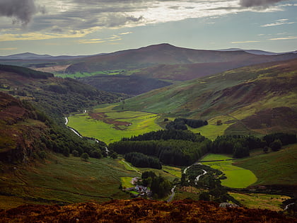
ParkGlenealo Valley, Wicklow Mountains National Park
30 min walk • Glenealo Valley is a national nature reserve of approximately 4,838 acres located in County Wicklow, Ireland. It is managed by the Irish National Parks & Wildlife Service, part of the Department of Housing, Local Government and Heritage.
 Nature, Natural attraction, Mountain
Cloghernagh
89 min walk • Cloghernagh at 800 metres, does not have the prominence to qualify as an Arderin, but does have the prominence to be the 40th–highest peak on the Vandeleur-Lynam scale.
 Nature, Natural attraction, Mountain
Wicklow Mountains
122 min walk • The Wicklow Mountains form the largest continuous upland area in the Republic of Ireland. They occupy the whole centre of County Wicklow and stretch outside its borders into the counties of Dublin, Wexford and Carlow.
 Nature, Natural attraction, Mountain
Corrigasleggaun, Wicklow Mountains National Park
110 min walk • Corrigasleggaun at 794 metres, is the 35th–highest peak in Ireland on the Arderin scale, and the 45th–highest peak on the Vandeleur-Lynam scale.
 Nature, Natural attraction, Mountain
Camenabologue
118 min walk • Camenabologue at 758 metres, is the 55th–highest peak in Ireland on the Arderin scale, and the 71st–highest peak on the Vandeleur-Lynam scale.
 Nature, Natural attraction, Mountain
Table Mountain, Wicklow Mountains National Park
126 min walk • Table Mountain is a 702-metre peak in the southern section of the Wicklow Mountains range in Ireland. With a prominence of only 16 metres, it is only listed in a few of the recognised categories of mountains in Ireland; it is the 110th–highest peak on the Vandeleur-Lynam Irish scale.


