Wolfe Tone Square, Dublin
Map

Map

Facts and practical information
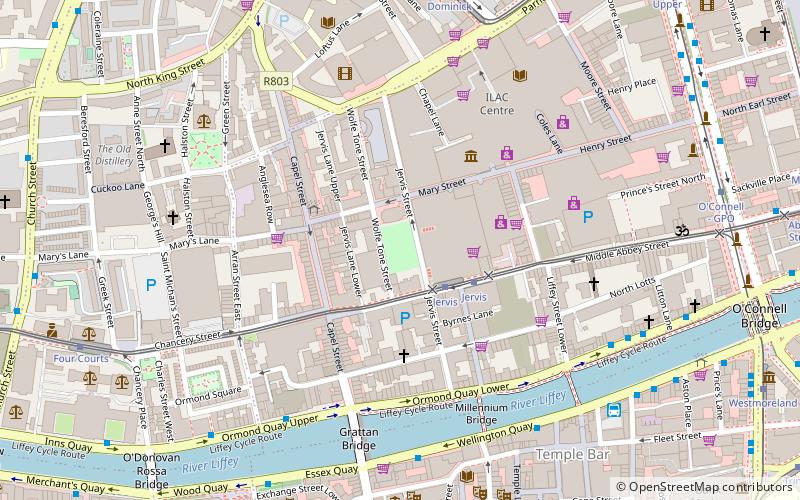
Wolfe Tone Park, sometimes known as Wolfe Tone Square, is a public space in Dublin, Ireland. Named for Theobald Wolfe Tone, the park is the site of a graveyard that was attached to St. Mary's Church. The graveyard was deconsecrated in 1966 and laid out as a green park. In 1998, Dublin City Council held an international competition to redesign the park, which was won by Peter Cody of Boyd Cody Architects. The park in its current form was completed in 2001. ()
Coordinates: 53°20'53"N, 6°16'1"W
Address
Northside (North Inner City)Dublin
ContactAdd
Social media
Add
Day trips
Wolfe Tone Square – popular in the area (distance from the attraction)
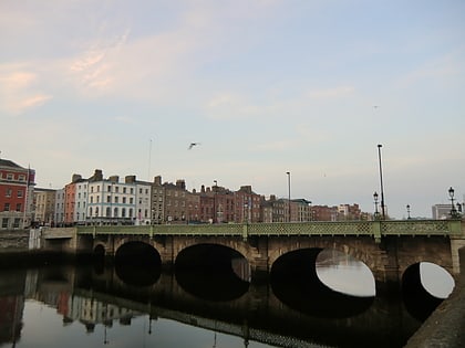
Nearby attractions include: O'Connell Street, Henry Street, Jervis Shopping Centre, Ha'penny Bridge.
Frequently Asked Questions (FAQ)
Which popular attractions are close to Wolfe Tone Square?
Nearby attractions include Jervis Street, Dublin (1 min walk), St Mary's Church, Dublin (1 min walk), National Leprechaun Museum, Dublin (2 min walk), Capel Street, Dublin (4 min walk).
How to get to Wolfe Tone Square by public transport?
The nearest stations to Wolfe Tone Square:
Tram
Bus
Train
Tram
- Jervis • Lines: Luas Red Line (2 min walk)
- Dominick • Lines: Luas Green Line (6 min walk)
Bus
- #1479 Ormond Quay, Capel Street • Lines: 145, 26 (5 min walk)
- Wellington Quay • Lines: 26, 52, C1, C2, C3, C4, C5, C6, P29, X25, X27, X28, X30, X31, X32 (5 min walk)
Train
- Tara Street (14 min walk)
- Dublin Pearse (22 min walk)


