Milford Mills
Map

Map

Facts and practical information
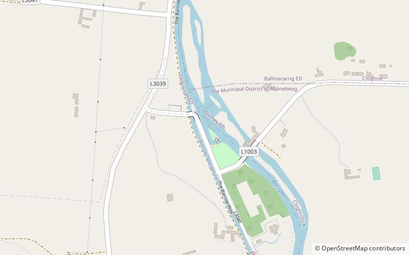
Milford Mills is an 18th-century watermill which sits on the banks of the River Barrow at Milford, County Carlow. Originally built as a flour mill and malting house, it was later employed as a hydroelectric power station. ()
Opened: 1790 (236 years ago)Coordinates: 52°46'53"N, 6°57'56"W
Location
Carlow
ContactAdd
Social media
Add
Day trips
Milford Mills – popular in the area (distance from the attraction)
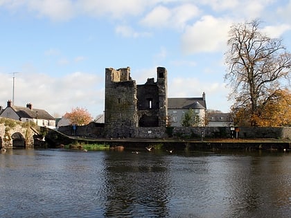
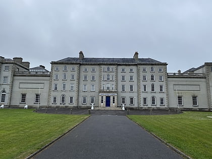
Nearby attractions include: Carlow County Museum, Carlow Castle, Brownshill Dolmen, St Laserian's Cathedral.


