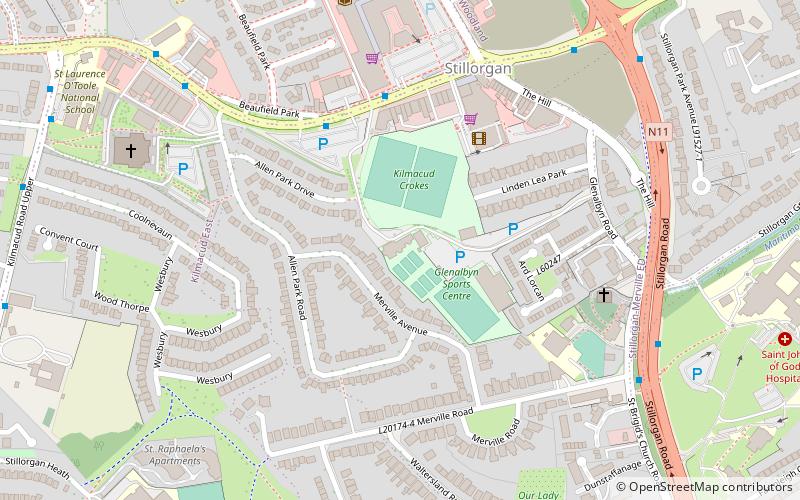
Glenalbyn, Dublin
Map

Map

Facts and practical information
Glenalbyn is a Georgian House in Stillorgan, County Dublin constructed circa 1810 which has formed part of the clubhouse complex of the Kilmacud Crokes GAA club since it was acquired in 1963. ()
Coordinates: 53°17'11"N, 6°12'0"W
Address
Glenalbyn RoadDublin
ContactAdd
Social media
Add
Day trips
Glenalbyn – popular in the area (distance from the attraction)
Nearby attractions include: St. John the Baptist, St. Andrew's, St. Philip and St. James Church, Friends Burial Ground.
Frequently Asked Questions (FAQ)
How to get to Glenalbyn by public transport?
The nearest stations to Glenalbyn:
Bus
Tram
Train
Bus
- Stillorgan SC • Lines: 75 (4 min walk)
- Kilmacud Road Lower • Lines: 75 (5 min walk)
Tram
- Sandyford • Lines: Luas Green Line (17 min walk)
- Stillorgan • Lines: Luas Green Line (17 min walk)
Train
- Blackrock (37 min walk)


