Trek Zone

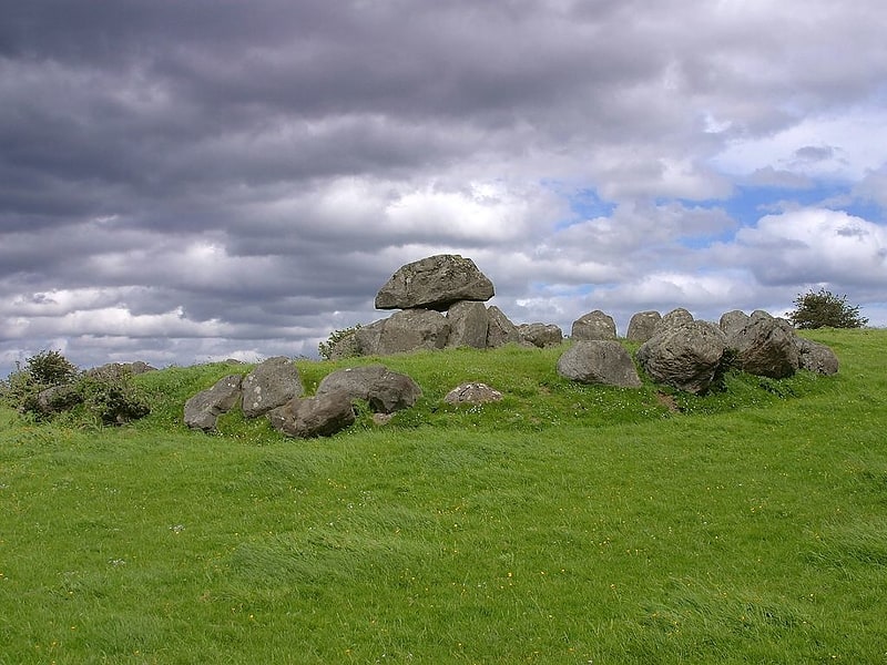
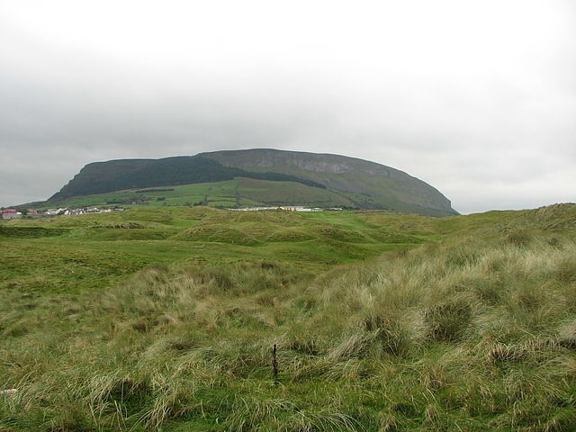
Queen Maeve's Grave, Sligo
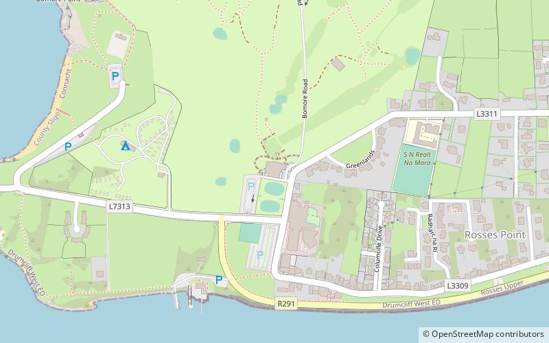
#5 among attractions in Sligo

Sightseeing
Queen Maeve's Grave location map
Map

Facts and practical information

Queen Maeve's Grave is a place located in Sligo (Sligo county) and belongs to the category of sightseeing.

It is situated at an altitude of 1030 feet, and its geographical coordinates are 54°15'31"N latitude and 8°34'27"W longitude.

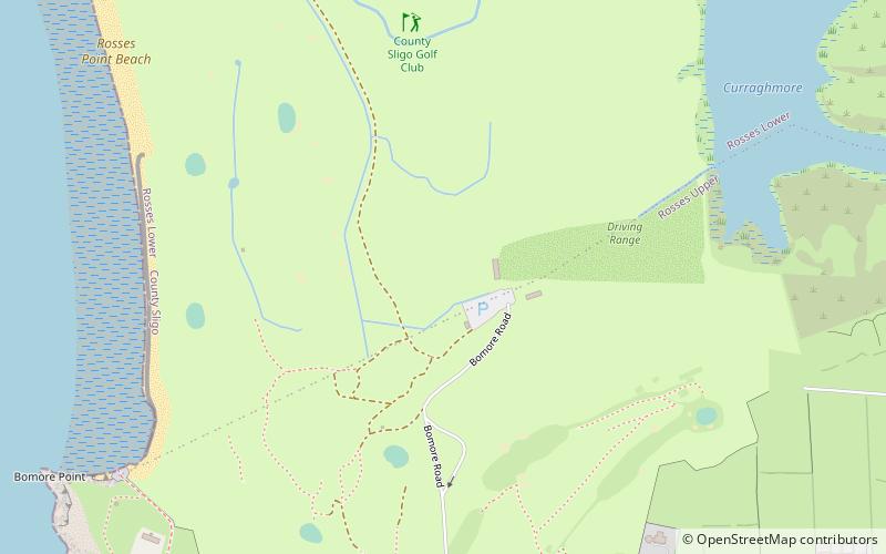
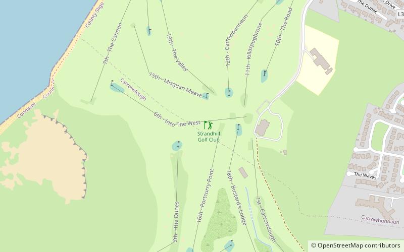
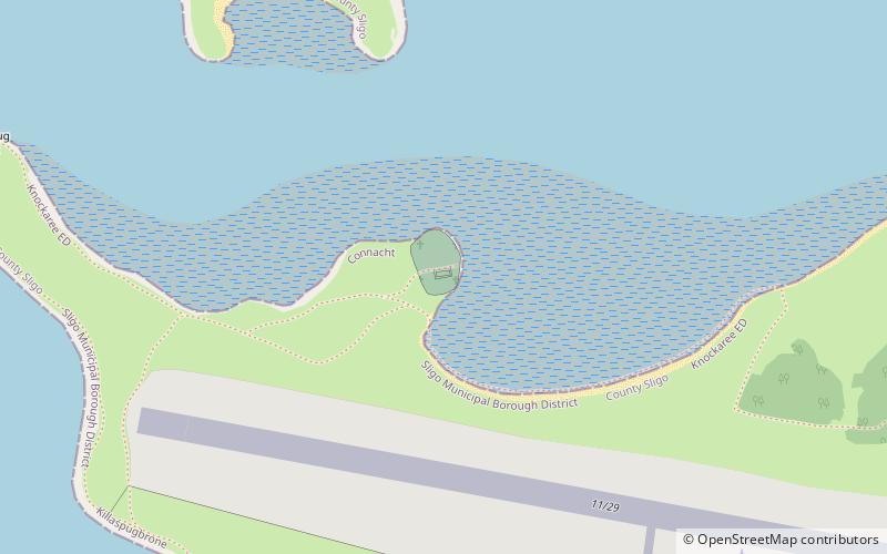
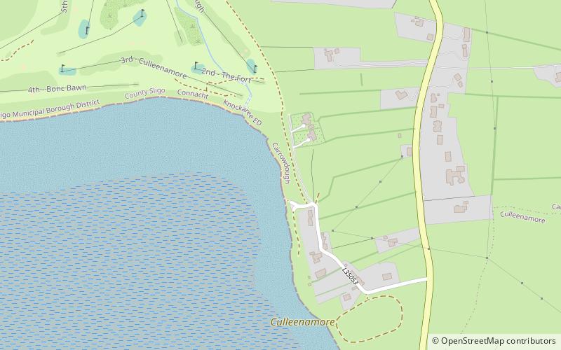
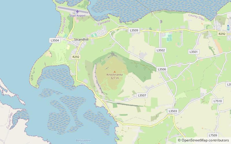
Among other places and attractions worth visiting in the area are: Knocknarea (mountain, 1 min walk), Culleenamore (beach, 29 min walk), Strandhill Golf Club (outdoor activities, 37 min walk).

Coordinates: 54°15'31"N, 8°34'27"W
Address

Sligo Ireland

ContactAdd
Social media
Add
Day trips

Queen Maeve's Grave – popular in the area (distance from the attraction)

Nearby attractions include: Carrowmore, Rosses Point Beach, County Sligo Golf Club, Metal Man.

  • carrowmore sligo2.3 miE
  • rosses point beach location map
    3.4 miN
  • county sligo golf club rosses point location map
    3.7 miN
  • metal man rosses point3.1 miN
  • strandhill surf school location map
    1.6 miNW
  • knocknarea sligo~130 ftNW
  • county sligo golf club rosses point location map
    3.4 miN
  • strandhill golf club sligo location map
    1.4 miW
  • killaspugbrone church strandhill location map
    2 miNW
  • culleenamore location map
    1.1 miW
  • listoghil ballysadare2.3 miE

Where to next? Visit sligo Sligo region page or discover the top tourist attractions in Ireland.

IrelandCarlowCavanClareCorkDonegalDublinGalwayKerryKildareKilkennyLaoighisLeitrimLimerickLongfordLouthMayoMeathMonaghanOffalyRoscommonSligoTipperaryWaterfordWestmeathWexfordWicklow