King's Island, Limerick, Limerick
Map

Map

Facts and practical information
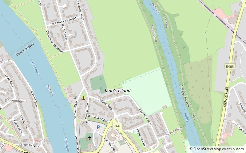
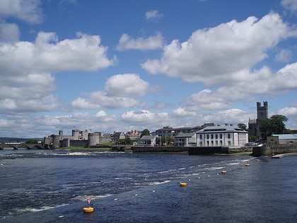
King's Island is an area of central Limerick, Ireland. The area is often referred to colloquially as The Island and consists of two distinct areas, Englishtown and St Mary's Park. The historical city of Limerick known as Englishtown is located on the southern end and St Mary's Park; a local authority housing estate is located on the northern end. ()
Coordinates: 52°40'24"N, 8°37'24"W
Address
Limerick
ContactAdd
Social media
Add
Day trips
King's Island, Limerick – popular in the area (distance from the attraction)
Nearby attractions include: O'Connell Street, King John's Castle, Thomond Park, The Milk Market.
Frequently Asked Questions (FAQ)
Which popular attractions are close to King's Island, Limerick?
Nearby attractions include King John's Castle, Limerick (7 min walk), Thomond Bridge, Limerick (7 min walk), Treaty Stone, Limerick (9 min walk), Athlunkard Street, Limerick (9 min walk).
How to get to King's Island, Limerick by public transport?
The nearest stations to King's Island, Limerick:
Bus
Train
Bus
- Arthur's Quay • Lines: 735 (15 min walk)
- Irish Citylink, Henry Street • Lines: Express to Cork, Express to Galway (23 min walk)
Train
- Limerick Colbert (27 min walk)


