Ballsbridge, Dublin
Map

Map

Facts and practical information
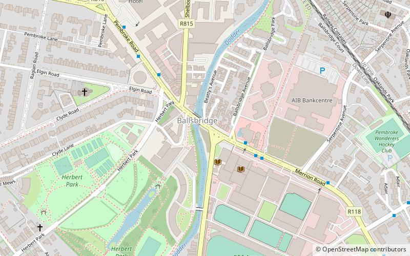
Ballsbridge is an affluent neighbourhood of the city of Dublin, the capital of Ireland. The area is largely north and west of a three-arch stone bridge across the River Dodder, on the south side of the city. The sign on the bridge still proclaims it as "Ball's Bridge", in recognition of the fact that the original bridge on that location was built and owned by the Ball family, a well-known Dublin merchant family in the 1500s and the 1600s. The current bridge was built in 1791. ()
Address
Southside (Pembroke)Dublin
ContactAdd
Social media
Add
Day trips
Ballsbridge – popular in the area (distance from the attraction)
Nearby attractions include: Aviva Stadium, Shelbourne Park, RDS Arena, Donnybrook Stadium.
Frequently Asked Questions (FAQ)
Which popular attractions are close to Ballsbridge?
Nearby attractions include Herbert Park, Dublin (6 min walk), St Bartholomew's Church, Dublin (6 min walk), Shelbourne Road, Dublin (7 min walk), Clyde Road, Dublin (7 min walk).
How to get to Ballsbridge by public transport?
The nearest stations to Ballsbridge:
Bus
Train
Tram
Bus
- #416 Ballsbridge, RDS • Lines: 18, 4, 7 (2 min walk)
- #485 Ballsbridge, RDS • Lines: 4 (3 min walk)
Train
- Lansdowne Road (9 min walk)
- Sandymount (11 min walk)
Tram
- Ranelagh • Lines: Luas Green Line (27 min walk)
- Beechwood • Lines: Luas Green Line (29 min walk)


