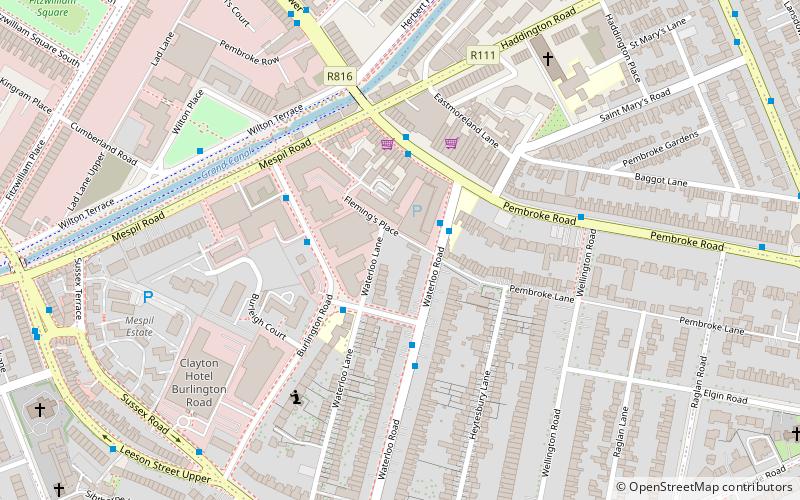
Baggot Street, Dublin
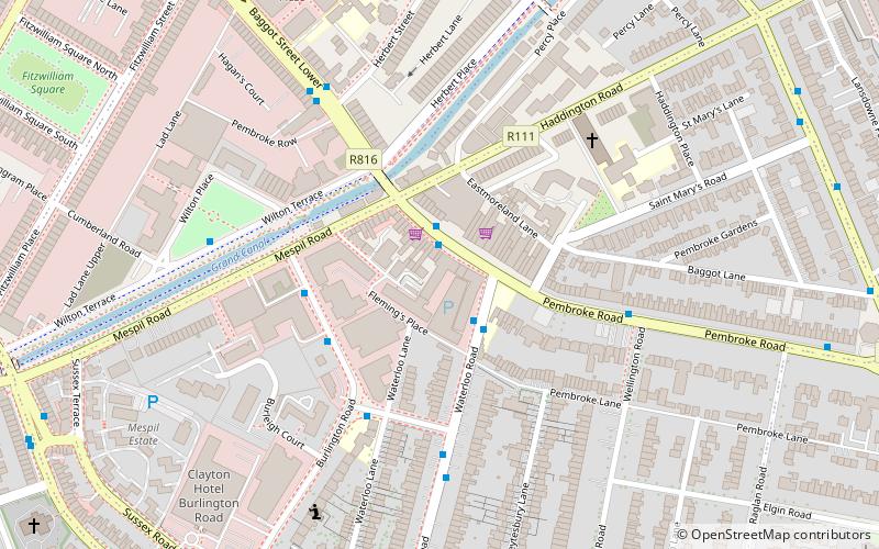
Map
Facts and practical information
Coordinates: 53°19'59"N, 6°14'40"W
Address
Southside (Pembroke)Dublin
ContactAdd
Social media
Add
Day trips
Baggot Street – popular in the area (distance from the attraction)
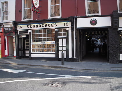
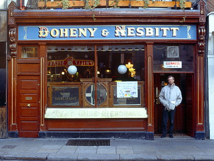
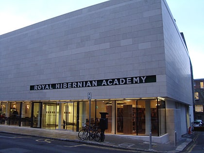
Nearby attractions include: O'Donoghue's, Doheny & Nesbitt, Number Twenty Nine - Georgian House Museum, Royal Hibernian Academy.
Frequently Asked Questions (FAQ)
Which popular attractions are close to Baggot Street?
Nearby attractions include Baggotrath Castle, Dublin (2 min walk), Mother and Baby Homes Commission of Investigation, Dublin (4 min walk), St Stephen's Church, Dublin (7 min walk), Raglan Road, Dublin (9 min walk).
How to get to Baggot Street by public transport?
The nearest stations to Baggot Street:
Bus
Train
Tram
Bus
- Baggot Street Upper • Lines: 38, 38A, 38B (1 min walk)
- Waterloo Road • Lines: 18, 38, 38A, 38B (3 min walk)
Train
- Grand Canal Dock (14 min walk)
- Lansdowne Road (17 min walk)
Tram
- Charlemont • Lines: Luas Green Line (16 min walk)
- Ranelagh • Lines: Luas Green Line (18 min walk)
