East Wall Road, Dublin
Map

Map

Facts and practical information
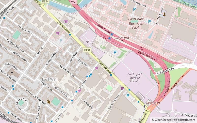
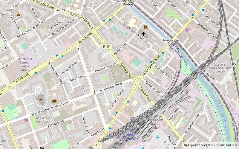
East Wall Road runs from the junction of the East-Link drawbridge and North Wall Quay, along the side of the northern part of Dublin port to the junction of the North Strand Road and Poplar Row. ()
Coordinates: 53°21'18"N, 6°13'45"W
Address
Northside (North Inner City)Dublin
ContactAdd
Social media
Add
Day trips
East Wall Road – popular in the area (distance from the attraction)
Nearby attractions include: EPIC The Irish Emigration Museum, 3Arena, Samuel Beckett Bridge, Convention Centre Dublin.
Frequently Asked Questions (FAQ)
Which popular attractions are close to East Wall Road?
Nearby attractions include St. Joseph's Church, Dublin (8 min walk), Royal Canal, Dublin (10 min walk), Dublin Port Tunnel, Dublin (13 min walk), Fairview Park, Dublin (13 min walk).
How to get to East Wall Road by public transport?
The nearest stations to East Wall Road:
Bus
Tram
Train
Bus
- East Wall Road, Docklands Innovation Park • Lines: 53 (2 min walk)
- East Road • Lines: 53 (3 min walk)
Tram
- The Point • Lines: Luas Red Line (12 min walk)
- Spencer Dock • Lines: Luas Red Line (14 min walk)
Train
- Docklands (13 min walk)
- Clontarf Road (15 min walk)


