Slievemaan
Map

Map

Facts and practical information
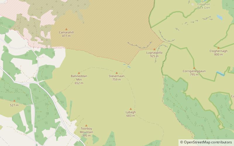
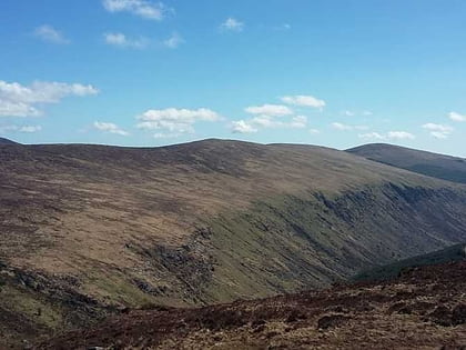
Slievemaan at 759 metres, is the 54th–highest peak in Ireland on the Arderin scale, and the 70th–highest peak on the Vandeleur-Lynam scale. Slievemaan is situated in the southwen sector of the Wicklow Mountains range, and is part of the large massif of Lugnaquilla 925 metres, Wicklow's highest mountain. Slievemaan lies at the southern end of the Glen of Imaal. ()
Elevation: 2490 ftProminence: 177 ftCoordinates: 52°57'32"N, 6°29'12"W
Location
Wicklow
ContactAdd
Social media
Add
Day trips
Slievemaan – popular in the area (distance from the attraction)
Nearby attractions include: Lugduff, Lugnaquilla, Glenealo Valley, Cloghernagh.


