Westmoreland Street, Dublin
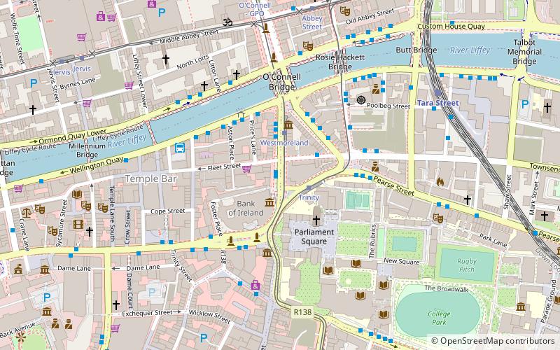
Map
Facts and practical information
Westmoreland Street is a street on the Southside of Dublin. It is currently a one-way street. It carries a segment of the R138 road for northbound traffic; nearby D'Olier Street carries southbound traffic of that segment. ()
Coordinates: 53°20'44"N, 6°15'33"W
Address
Southside (South-East Inner City)Dublin
ContactAdd
Social media
Add
Getting there by public transportation
Public transportation stops near this location
- Bus
- Tram
- Train
 Bus
Bus
- Calculate route#320 Westmoreland Street, Fleet Street 1 min walk
- Calculate route#319 Westmoreland Street, Fleet Street 2 min walk
- Calculate routeFleet Street 2 min walk
- Calculate routeWestmoreland Street, Fleet Street 2 min walk
- Calculate routeTrinity 2 min walk
- Calculate routeWestmoreland 2 min walk
- Calculate routeAbbey Street 6 min walk
- Calculate routeO'Connell - GPO 6 min walk
- Calculate routeTara Street 6 min walk
- Calculate routeDublin Pearse 12 min walk
- Calculate routeDublin Connolly 18 min walk
- Calculate routeDocklands 23 min walk
Day trips


Frequently Asked Questions (FAQ)
Which popular attractions are close to Westmoreland Street?
Nearby attractions include The National Wax Museum Plus, Dublin (2 min walk), College Green, Dublin (3 min walk), D'Olier Street, Dublin (3 min walk), University of Dublin, Dublin (3 min walk).
How to get to Westmoreland Street by public transport?
The nearest stations to Westmoreland Street:
Bus
Tram
Train
Bus
- #320 Westmoreland Street, Fleet Street • Lines: 11 (1 min walk)
- #319 Westmoreland Street, Fleet Street • Lines: 1 (2 min walk)
Tram
- Trinity • Lines: Luas Green Line (2 min walk)
- Westmoreland • Lines: Luas Green Line (2 min walk)
Train
- Tara Street (6 min walk)
- Dublin Pearse (12 min walk)