Belcamp Park, Dublin

Map
Facts and practical information
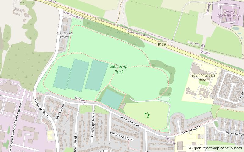
Belcamp Park is a public park in Clonshaugh, Dublin 17, within the broad Coolock area, near Darndale and Priorswood. The park runs south of the N32, along the northern boundary of the city. It is owned by Dublin City Council and operated by the Council's Parks and Landscape Division. ()
Elevation: 141 ft a.s.l.Coordinates: 53°24'26"N, 6°12'36"W
Address
Northside (Artane - Coolock)Dublin
ContactAdd
Social media
Add
Day trips
Belcamp Park – popular in the area (distance from the attraction)
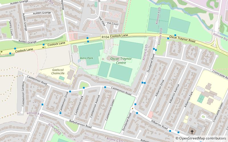
Nearby attractions include: Northside Shopping Centre, Stardust Memorial Park, Darndale, Oscar Traynor Centre.
Frequently Asked Questions (FAQ)
Which popular attractions are close to Belcamp Park?
Nearby attractions include Stardust Memorial Park, Dublin (20 min walk), Darndale, Dublin (21 min walk).
How to get to Belcamp Park by public transport?
The nearest stations to Belcamp Park:
Bus
Bus
- Zone Z • Lines: Red Car Park Shuttle (23 min walk)
- Zone Y • Lines: Red Car Park Shuttle (23 min walk)


