Stardust Memorial Park, Dublin
Map

Map

Facts and practical information
Stardust Memorial Park is a memorial park located in the Bonnybrook townland of Coolock, Dublin built to commemorate the lives of those who died during the Stardust tragedy at the Stardust night club in nearby Artane on 14 February 1981. The park was officially completed and opened on 18 September 1993, by the then Lord Mayor of Dublin, Tomás MacGiolla. The park comprises 22 acres along the Santry River and the land was originally a 12th-century monastic site. ()
Created: February 1992Elevation: 118 ft a.s.l.Coordinates: 53°23'47"N, 6°12'19"W
Day trips
Stardust Memorial Park – popular in the area (distance from the attraction)
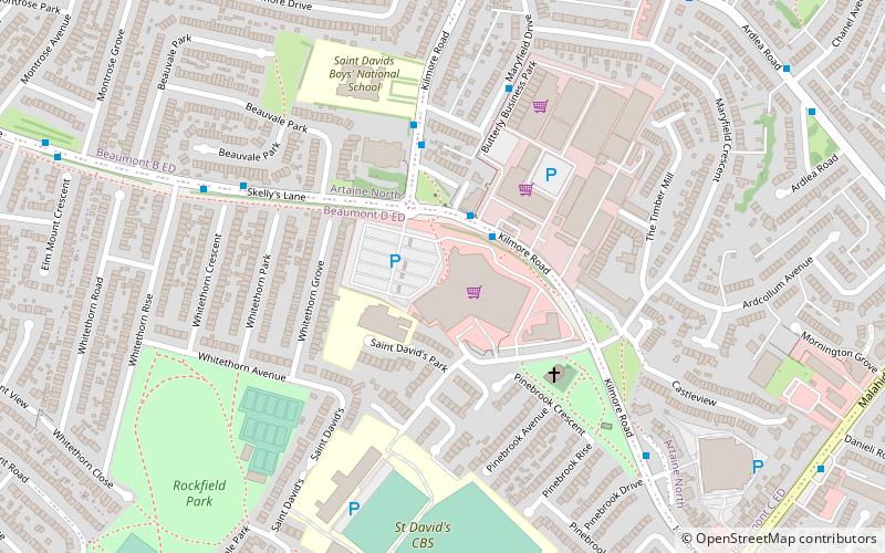
Nearby attractions include: Northside Shopping Centre, Artaine Castle Shopping Centre, All Saints' Church, Clarehall Shopping Centre.
Frequently Asked Questions (FAQ)
Which popular attractions are close to Stardust Memorial Park?
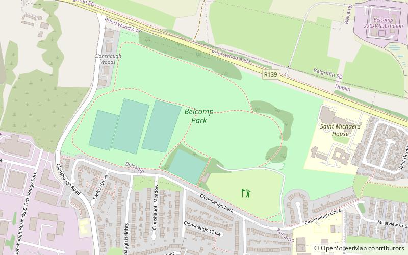
Nearby attractions include Darndale, Dublin (14 min walk), Belcamp Park, Dublin (20 min walk).
How to get to Stardust Memorial Park by public transport?
The nearest stations to Stardust Memorial Park:
Bus
Bus
- Coolock Drive • Lines: 17A (8 min walk)
- Armstrong Walk • Lines: 17A (8 min walk)


