O'Rourke's Castle, Leitrim

Map
Facts and practical information
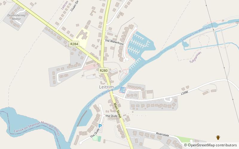
O'Rourke's Castle is a ruined castle in Ireland. It was situated in the centre of Leitrim Village c. 30m from the N bank of the Ballinamore and Ballyconnell canal, which at this point is a canalised stream, and c. 400m from its junction with the River Shannon. ()
Coordinates: 53°59'28"N, 8°3'52"W
Address
Leitrim
ContactAdd
Social media
Add
Day trips
O'Rourke's Castle – popular in the area (distance from the attraction)
Nearby attractions include: Costello Memorial Chapel, Lough Scur, Jamestown Canal, Kilronan Castle.


