Lough Scur
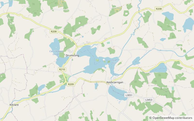
Map
Gallery
Facts and practical information
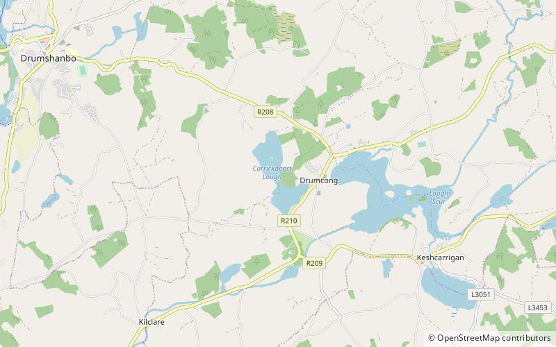
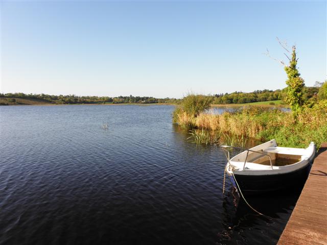
Lough Scur is a freshwater lake in south County Leitrim, northwest Ireland. It is part of the Shannon–Erne Waterway. There have been Human settlements here since the New Stone Age. Modern features include quays and moorings. Protected features are Castle John, three Crannogs, and the causeway into Rusheen Island, though "Jail Island" is not protected. The ecology of Lough Scur, and indeed all county Leitrim lakes, is threatened by pollution and invasive species such as curly waterweed, zebra mussel, and freshwater clam. ()
Maximum depth: 16 ftElevation: 217 ft a.s.l.Coordinates: 54°1'36"N, 7°57'22"W
Location
Leitrim
ContactAdd
Social media
Add
Day trips
Lough Scur – popular in the area (distance from the attraction)
Nearby attractions include: Sliabh an Iarainn, O'Rourke's Castle, Carrickaport lough, Drumshanbo.


