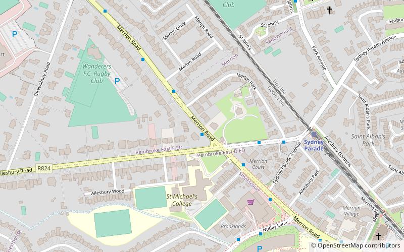
Merrion Road, Dublin

Gallery (1)
Map
Map
Facts and practical information
Merrion Road is a major road, part of the R118, in Dublin 4. ()
Coordinates: 53°19'16"N, 6°12'59"W
Address
Southside (Pembroke)Dublin
ContactAdd
Social media
Add
Getting there by public transportation
Public transportation stops near this location
- Bus
- Train
 Bus
Bus
- Calculate route#480 Merrion Road, Ailesbury Road 1 min walk
- Calculate route#420 Merrion Road, Merlyn Road 3 min walk
- Calculate route#421 Merrion Road, Ailesbury Road 3 min walk
- Calculate route#481 Merrion Road, Merlyn Road 4 min walk
- Calculate routeSydney Parade 6 min walk
- Calculate routeSandymount 14 min walk
- Calculate routeLansdowne Road 26 min walk
- Calculate routeBooterstown 30 min walk
Day trips


Frequently Asked Questions (FAQ)
Which popular attractions are close to Merrion Road?
Nearby attractions include Ailesbury Road, Dublin (6 min walk), Sydney Parade Avenue, Dublin (9 min walk), Sandymount Avenue, Dublin (14 min walk), Sandymount Strand, Dublin (14 min walk).
How to get to Merrion Road by public transport?
The nearest stations to Merrion Road:
Bus
Train
Bus
- #480 Merrion Road, Ailesbury Road • Lines: 4 (1 min walk)
- #420 Merrion Road, Merlyn Road • Lines: 4, 7 (3 min walk)
Train
- Sydney Parade (6 min walk)
- Sandymount (14 min walk)