Merrion Hall, Dublin
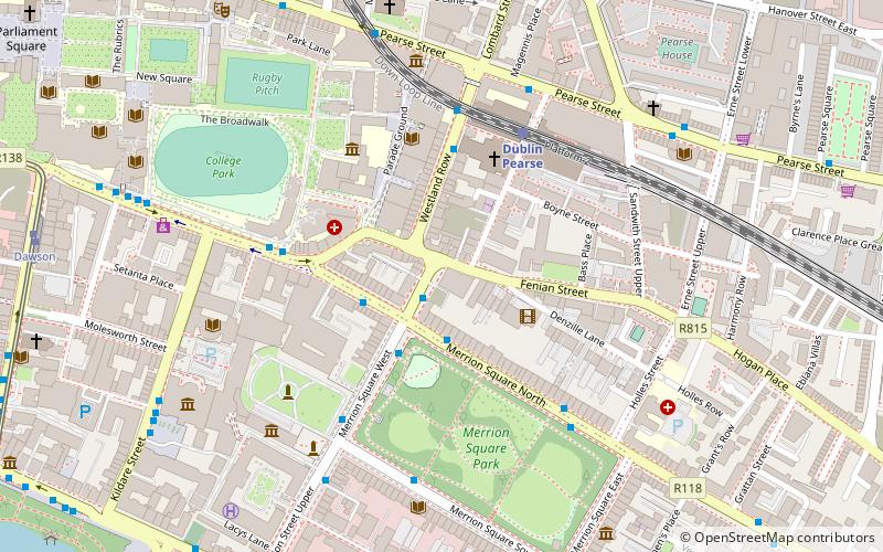
Map

Map

Facts and practical information
The Merrion Hall is a former Plymouth Brethren church built by Alfred Gresham Jones and completed in 1863 that was located near Merrion Square in Dublin, Ireland. It has been reconstructed and renovated and is now the Davenport Hotel, but the facade has been retained. ()
Coordinates: 53°20'30"N, 6°15'0"W
Address
Southside (South-East Inner City)Dublin
ContactAdd
Social media
Add
Day trips
Merrion Hall – popular in the area (distance from the attraction)
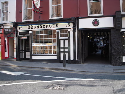
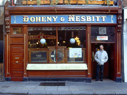
Nearby attractions include: Science Gallery, Natural History Museum, O'Donoghue's, Dawson Street.
Frequently Asked Questions (FAQ)
Which popular attractions are close to Merrion Hall?
Nearby attractions include Oriel Gallery, Dublin (2 min walk), Westland Row, Dublin (2 min walk), St Andrew's Church, Dublin (3 min walk), National Gallery of Ireland, Dublin (3 min walk).
How to get to Merrion Hall by public transport?
The nearest stations to Merrion Hall:
Bus
Train
Tram
Bus
- Merrion Sq, Clare Street • Lines: 111X, 4, 7, Nx (2 min walk)
- #494 Clare Street, Lincoln Place • Lines: 4 (2 min walk)
Train
- Dublin Pearse (4 min walk)
- Tara Street (11 min walk)
Tram
- Dawson • Lines: Luas Green Line (9 min walk)
- Trinity • Lines: Luas Green Line (11 min walk)


