Castledillon, Straffan

Map
Facts and practical information
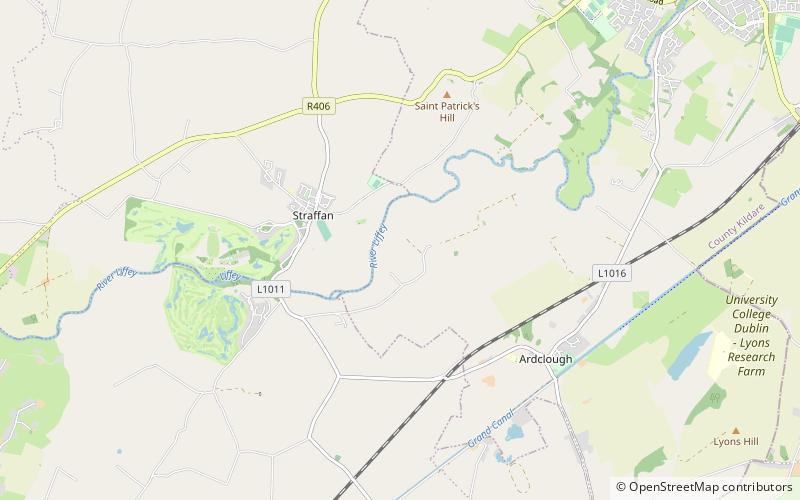
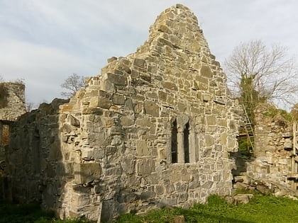
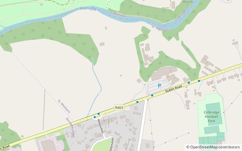
Castledillon is a townland and former parish on the River Liffey near Straffan situated on the banks of the River Liffey 25 km upstream from the Irish capital Dublin. ()
Coordinates: 53°18'32"N, 6°35'36"W
Address
Straffan
ContactAdd
Social media
Add
Day trips
Castledillon – popular in the area (distance from the attraction)
Nearby attractions include: Castletown House, Clane Friary, K Club, Donaghcumper Church.
Frequently Asked Questions (FAQ)
Which popular attractions are close to Castledillon?
Nearby attractions include Steam Museum, Straffan (9 min walk), Straffan Parish Church, Straffan (18 min walk), St. Patrick's Church, Straffan (19 min walk).


