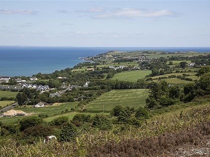
Ballynagaul, Ring
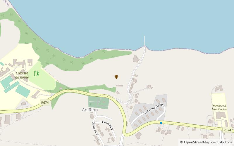
Map
Facts and practical information
Ballynagaul is a townland within the Irish-speaking Gaeltacht na nDéise part of County Waterford. It is located approximately 9.6 kilometres from Dungarvan. ()
Coordinates: 52°2'60"N, 7°34'60"W
Address
Ring
ContactAdd
Social media
Add
Day trips
Ballynagaul – popular in the area (distance from the attraction)
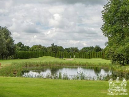
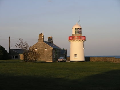
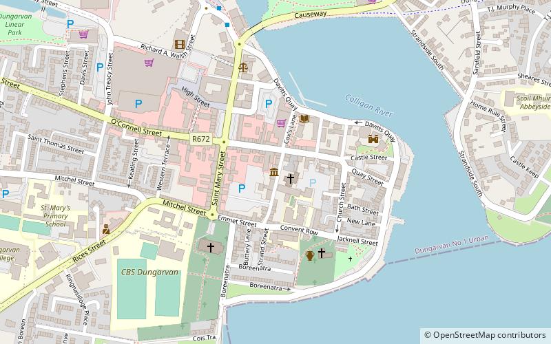
Nearby attractions include: Dungarvan Golf Club, Dungarvan Castle, Ballinacourty, Mine Head Lighthouse.
